


6 km | 6,1 km-effort
Le Crotoy: Ontdek de beste tochten: 71 te voet, 43 met de fiets of mountainbike en 12 te paard. Al deze tochten, trajecten, routes en outdoor activiteiten zijn beschikbaar in onze SityTrail-apps voor smartphones en tablets.

Stappen


Paard
•

Fiets

Stappen
•

Stappen
Wegfiets
Stappen
Stappen

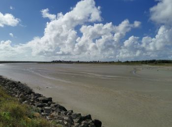
Te voet
Stappen
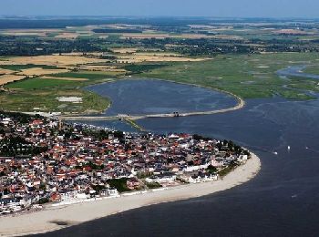
• Le Crotoy

Stappen
•
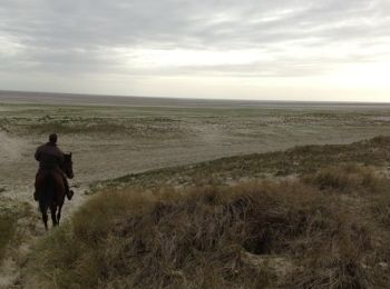
Paard
•

Stappen
• d�couverte du Marquenterre

Stappen

Stappen

Stappen

Fietstoerisme
Stappen

Mountainbike
Stappen
20 tochten weergegeven op 126
Gratisgps-wandelapplicatie
 SityTrail
IGN / Geografische instituten
SityTrail World
De wereld gaat voor u open