


3 km | 3,9 km-effort
Cantabrië: Ontdek de beste tochten: 143 te voet en 15 met de fiets of mountainbike. Al deze tochten, trajecten, routes en outdoor activiteiten zijn beschikbaar in onze SityTrail-apps voor smartphones en tablets.
Stappen


Stappen
Stappen
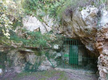
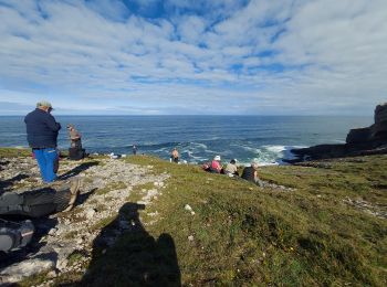
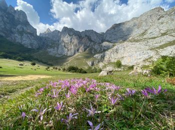
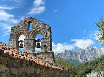
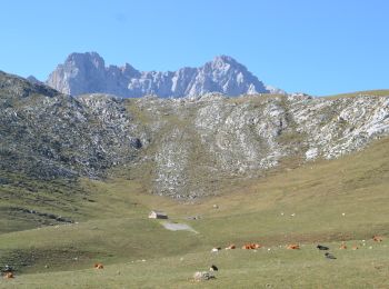
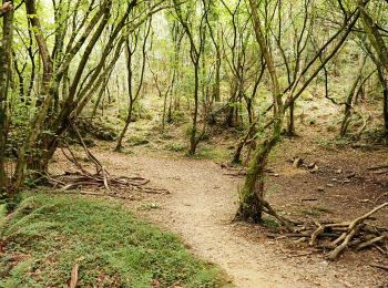
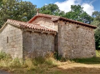
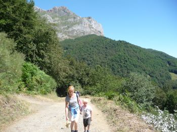
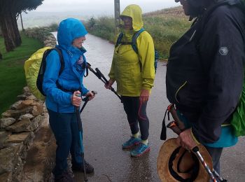
Te voet
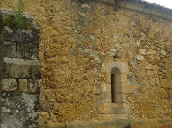
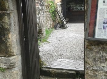
• Trail created by Ayuntamiento de Puente Viesgo. Website: http://www.puenteviesgo.es/Turismo_RutasaPie.html
Stappen
Te voet
Te voet
Te voet
Te voet
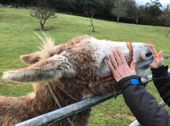
Andere activiteiten
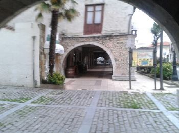
• Circular
Stappen
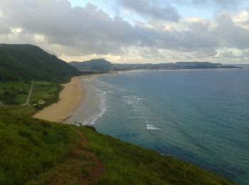
• Réveilla à llanes
Stappen
• Réveilla à llanes
Stappen
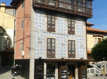
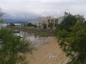
• Santillana del mar à Revilla
Stappen
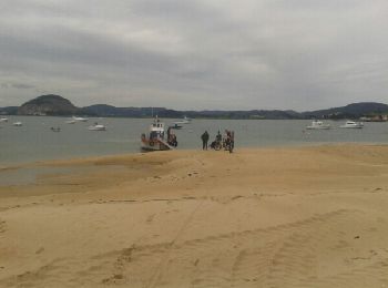
• Santander À Santillana del mar
Stappen
• Santona à Santander
Stappen
• Castro Urdiales à Santona
Stappen
• Castro Urdiales à Santona
Stappen
Stappen

Stappen
20 tochten weergegeven op 174
Gratisgps-wandelapplicatie
 SityTrail
IGN / Geografische instituten
SityTrail World
De wereld gaat voor u open