


8,5 km | 13,1 km-effort
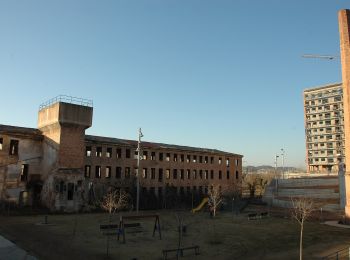
Manresa: Ontdek de beste tochten: 8 te voet en 1 met de fiets of mountainbike. Al deze tochten, trajecten, routes en outdoor activiteiten zijn beschikbaar in onze SityTrail-apps voor smartphones en tablets.
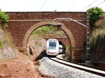
Te voet


• Trail created by Ajuntament de Manresa. Ruta que pertany a l'Anella Verda de Manresa Website: http://www.anellave...
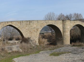
Te voet
• Trail created by Ajuntament de Manresa. Ruta que pertany a l'Anella Verda de Manresa Website: http://www.anellave...
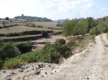
Te voet
• Trail created by Ajuntament de Manresa. Ruta que pertany a l'Anella Verda de Manresa. Website: http://www.anellav...
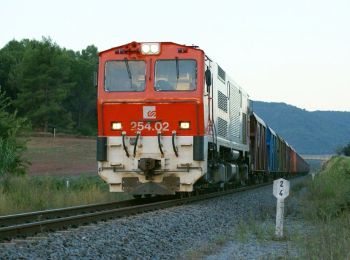
Te voet
• Trail created by Ajuntament de Manresa. Ruta que pertany a l'Anella Verda de Manresa. El recorregut passa per dins d...
Te voet
• Trail created by Ajuntament de Manresa. Ruta que pertany a l'Anella Verda de Manresa Website: http://www.anellave...

Te voet
• Trail created by Ajuntament de Manresa. Ruta que pertany a l'Anella Verda de Manresa Website: http://www.anellave...
Te voet
• Trail created by Ajuntament de Manresa. Ruta que pertany a l'Anella Verda de Manresa Website: http://www.anellave...
Te voet
• Trail created by Ajuntament de Manresa. Ruta que pertany a l'Anella Verda de Manresa Website: http://www.anellave...

Elektrische fiets
9 tochten weergegeven op 9
Gratisgps-wandelapplicatie
 SityTrail
IGN / Geografische instituten
SityTrail World
De wereld gaat voor u open