![](/images/other/stat-length.png)
Denmark: Top van de beste wandelroutes, trajecten, tochten en wandelingen
Denmark: Ontdek de 375 beste wandel- en fietstochten. Onze catalogus die helemaal is samengesteld door wandelaars en toerfietsers staat vol prachtige landschappen die erop wachten om verkend te worden. Download deze routes in SityTrail, onze gratis gps wandel-app beschikbaar op Android en iOS.
De beste trajecten (375)
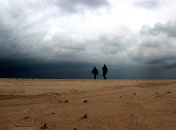
![Tocht Te voet - Keargard Yellow Hiking Route - Photo](https://media.geolcdn.com/t/350/260/64eb79ef-eecc-4fa2-af88-270342d10b8c.jpeg&format=jpg&maxdim=2)
![Te voet Te voet](https://static1.geolcdn.com/sitytour/trail-icons/100.png)
Km
Te voet
![](/images/other/stat-length.png)
![](https://static1.geolcdn.com/siteimages/upload/files/1508320355ic_sort_den_pos_24dp.png)
![](https://static1.geolcdn.com/siteimages/upload/files/1508320355ic_sort_den_neg_24dp.png)
![](https://static1.geolcdn.com/siteimages/upload/files/16400158638029165_repeat_loop_refresh_sync_direction_icon.png)
• Symbol: yellow point
![Tocht Te voet - Amagerminoen - Photo](https://media.geolcdn.com/t/350/260/812d0a1c-0f4e-4a5a-ab31-a5e7e68a2bed.jpeg&format=jpg&maxdim=2)
![Te voet Te voet](https://static1.geolcdn.com/sitytour/trail-icons/100.png)
Km
Te voet
![](/images/other/stat-length.png)
![](https://static1.geolcdn.com/siteimages/upload/files/1508320355ic_sort_den_pos_24dp.png)
![](https://static1.geolcdn.com/siteimages/upload/files/1508320355ic_sort_den_neg_24dp.png)
![](https://static1.geolcdn.com/siteimages/upload/files/16400158638029165_repeat_loop_refresh_sync_direction_icon.png)
• Symbol: vandringsmand
![Tocht Te voet - Store hestetur - Photo](https://media.geolcdn.com/t/350/260/c595987c-5c05-4c4b-8e87-ba5ffce499fd.jpeg&format=jpg&maxdim=2)
![Te voet Te voet](https://static1.geolcdn.com/sitytour/trail-icons/100.png)
Km
Te voet
![](/images/other/stat-length.png)
![](https://static1.geolcdn.com/siteimages/upload/files/1508320355ic_sort_den_pos_24dp.png)
![](https://static1.geolcdn.com/siteimages/upload/files/1508320355ic_sort_den_neg_24dp.png)
![](https://static1.geolcdn.com/siteimages/upload/files/16400158638029165_repeat_loop_refresh_sync_direction_icon.png)
• Symbol: Blue dot
![Tocht Te voet - Kløverstier-Naturruten - Photo](https://media.geolcdn.com/t/350/260/e1e21ff0-2651-408f-8dcf-d2511378a9ac.jpeg&format=jpg&maxdim=2)
![Te voet Te voet](https://static1.geolcdn.com/sitytour/trail-icons/100.png)
Km
Te voet
![](/images/other/stat-length.png)
![](https://static1.geolcdn.com/siteimages/upload/files/1508320355ic_sort_den_pos_24dp.png)
![](https://static1.geolcdn.com/siteimages/upload/files/1508320355ic_sort_den_neg_24dp.png)
![](https://static1.geolcdn.com/siteimages/upload/files/16400158638029165_repeat_loop_refresh_sync_direction_icon.png)
• Symbol: Sort Kløver Website: https://nationalparkmolsbjerge.dk/media/208764/kloeverstier-paa-mols_folder.pdf
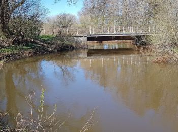
![Tocht Te voet - Grænsesti Rundtur Stensbæk Plantage - Photo](https://media.geolcdn.com/t/350/260/28134e82-0d17-4ede-904f-117690ac293e.jpeg&format=jpg&maxdim=2)
![Te voet Te voet](https://static1.geolcdn.com/sitytour/trail-icons/100.png)
Km
Te voet
![](/images/other/stat-length.png)
![](https://static1.geolcdn.com/siteimages/upload/files/1508320355ic_sort_den_pos_24dp.png)
![](https://static1.geolcdn.com/siteimages/upload/files/1508320355ic_sort_den_neg_24dp.png)
![](https://static1.geolcdn.com/siteimages/upload/files/16400158638029165_repeat_loop_refresh_sync_direction_icon.png)
• Trail created by Esbjerg Kommune.
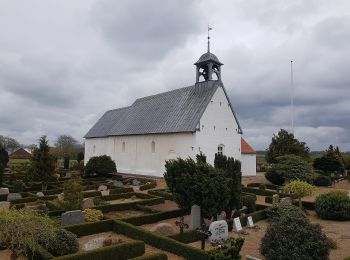
![Tocht Te voet - Grænsesti Rundtur Kalvslund - Photo](https://media.geolcdn.com/t/350/260/881addc8-43b7-4902-91e1-c562d83bbd38.jpeg&format=jpg&maxdim=2)
![Te voet Te voet](https://static1.geolcdn.com/sitytour/trail-icons/100.png)
Km
Te voet
![](/images/other/stat-length.png)
![](https://static1.geolcdn.com/siteimages/upload/files/1508320355ic_sort_den_pos_24dp.png)
![](https://static1.geolcdn.com/siteimages/upload/files/1508320355ic_sort_den_neg_24dp.png)
![](https://static1.geolcdn.com/siteimages/upload/files/16400158638029165_repeat_loop_refresh_sync_direction_icon.png)
• Trail created by Esbjerg Kommune.
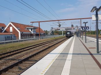
![Tocht Te voet - Mosevang-Ruten - Photo](https://media.geolcdn.com/t/350/260/f1aa1861-00c4-40ca-b858-560aa017eec3.jpeg&format=jpg&maxdim=2)
![Te voet Te voet](https://static1.geolcdn.com/sitytour/trail-icons/100.png)
Km
Te voet
![](/images/other/stat-length.png)
![](https://static1.geolcdn.com/siteimages/upload/files/1508320355ic_sort_den_pos_24dp.png)
![](https://static1.geolcdn.com/siteimages/upload/files/1508320355ic_sort_den_neg_24dp.png)
![](https://static1.geolcdn.com/siteimages/upload/files/16400158638029165_repeat_loop_refresh_sync_direction_icon.png)
• Trail created by Tinglev Forum. marked as Mosevangsti - on posters and web called Mosevang-Ruten
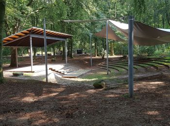
![Tocht Te voet - Olger-Ruten - Photo](https://media.geolcdn.com/t/350/260/fa1b5643-8fc0-49a2-a396-7e565121f30a.jpeg&format=jpg&maxdim=2)
![Te voet Te voet](https://static1.geolcdn.com/sitytour/trail-icons/100.png)
Km
Te voet
![](/images/other/stat-length.png)
![](https://static1.geolcdn.com/siteimages/upload/files/1508320355ic_sort_den_pos_24dp.png)
![](https://static1.geolcdn.com/siteimages/upload/files/1508320355ic_sort_den_neg_24dp.png)
![](https://static1.geolcdn.com/siteimages/upload/files/16400158638029165_repeat_loop_refresh_sync_direction_icon.png)
• Trail created by Tinglev Forum. marked as Olgersti - on posters and web called Olger-Ruten
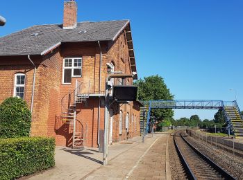
![Tocht Te voet - Møllestien - Photo](https://media.geolcdn.com/t/350/260/cccb63a3-24af-4b19-b07d-2c160b7ffb01.jpeg&format=jpg&maxdim=2)
![Te voet Te voet](https://static1.geolcdn.com/sitytour/trail-icons/100.png)
Km
Te voet
![](/images/other/stat-length.png)
![](https://static1.geolcdn.com/siteimages/upload/files/1508320355ic_sort_den_pos_24dp.png)
![](https://static1.geolcdn.com/siteimages/upload/files/1508320355ic_sort_den_neg_24dp.png)
![](https://static1.geolcdn.com/siteimages/upload/files/16400158638029165_repeat_loop_refresh_sync_direction_icon.png)
• Trail created by Vejle Kommune.
![Tocht Te voet - Lykkestien - Photo](https://media.geolcdn.com/t/350/260/7e9ca16e-1294-459a-8053-d089fec3ace9.jpeg&format=jpg&maxdim=2)
![Te voet Te voet](https://static1.geolcdn.com/sitytour/trail-icons/100.png)
Km
Te voet
![](/images/other/stat-length.png)
![](https://static1.geolcdn.com/siteimages/upload/files/1508320355ic_sort_den_pos_24dp.png)
![](https://static1.geolcdn.com/siteimages/upload/files/1508320355ic_sort_den_neg_24dp.png)
![](https://static1.geolcdn.com/siteimages/upload/files/16400158638029165_repeat_loop_refresh_sync_direction_icon.png)
• Trail created by Vejle Kommune.
![Tocht Te voet - Jydelejet - Photo](https://media.geolcdn.com/t/350/260/e2eb8c8d-a0d8-46a6-a4ef-78d46e118ffc.jpeg&format=jpg&maxdim=2)
![Te voet Te voet](https://static1.geolcdn.com/sitytour/trail-icons/100.png)
Km
Te voet
![](/images/other/stat-length.png)
![](https://static1.geolcdn.com/siteimages/upload/files/1508320355ic_sort_den_pos_24dp.png)
![](https://static1.geolcdn.com/siteimages/upload/files/1508320355ic_sort_den_neg_24dp.png)
![](https://static1.geolcdn.com/siteimages/upload/files/16400158638029165_repeat_loop_refresh_sync_direction_icon.png)
• Trail created by Naturstyrelsen.
![Tocht Te voet - Rød rute (4,5 km) - Photo](https://media.geolcdn.com/t/350/260/92147c72-7eaa-4333-93c1-95acae33810d.jpeg&format=jpg&maxdim=2)
![Te voet Te voet](https://static1.geolcdn.com/sitytour/trail-icons/100.png)
Km
Te voet
![](/images/other/stat-length.png)
![](https://static1.geolcdn.com/siteimages/upload/files/1508320355ic_sort_den_pos_24dp.png)
![](https://static1.geolcdn.com/siteimages/upload/files/1508320355ic_sort_den_neg_24dp.png)
![](https://static1.geolcdn.com/siteimages/upload/files/16400158638029165_repeat_loop_refresh_sync_direction_icon.png)
• Trail created by Naturstyrelsen. 4,5 km er Naturstyrelsens måde at skelne fra en nærliggende "Rød rute (4,3 km)"
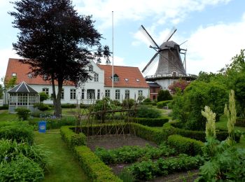
![Tocht Te voet - Sort stisløjfe, Klæggravene, Margrethekog - Photo](https://media.geolcdn.com/t/350/260/cc4a71ae-d6e2-4d67-8e42-9f5f32f0ef6e.jpeg&format=jpg&maxdim=2)
![Te voet Te voet](https://static1.geolcdn.com/sitytour/trail-icons/100.png)
Km
Te voet
![](/images/other/stat-length.png)
![](https://static1.geolcdn.com/siteimages/upload/files/1508320355ic_sort_den_pos_24dp.png)
![](https://static1.geolcdn.com/siteimages/upload/files/1508320355ic_sort_den_neg_24dp.png)
![](https://static1.geolcdn.com/siteimages/upload/files/16400158638029165_repeat_loop_refresh_sync_direction_icon.png)
• Trail created by Tøndermarsk Initiativet.
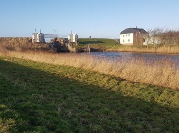
![Tocht Te voet - Grøn stisløjfe, Højer Sluse, pumpestation - Photo](https://media.geolcdn.com/t/350/260/2692a54d-cc72-43c1-8eeb-7d0df3debf0c.jpeg&format=jpg&maxdim=2)
![Te voet Te voet](https://static1.geolcdn.com/sitytour/trail-icons/100.png)
Km
Te voet
![](/images/other/stat-length.png)
![](https://static1.geolcdn.com/siteimages/upload/files/1508320355ic_sort_den_pos_24dp.png)
![](https://static1.geolcdn.com/siteimages/upload/files/1508320355ic_sort_den_neg_24dp.png)
![](https://static1.geolcdn.com/siteimages/upload/files/16400158638029165_repeat_loop_refresh_sync_direction_icon.png)
• Trail created by Tøndermarsk Initiativet.
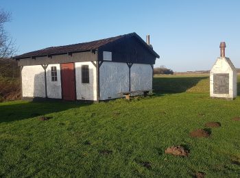
![Tocht Te voet - Rød stisløjfe, Emmerlev Klev, Vidåslusen - Photo](https://media.geolcdn.com/t/350/260/9d4b8f12-bea6-415f-b721-cc0162f1c313.jpeg&format=jpg&maxdim=2)
![Te voet Te voet](https://static1.geolcdn.com/sitytour/trail-icons/100.png)
Km
Te voet
![](/images/other/stat-length.png)
![](https://static1.geolcdn.com/siteimages/upload/files/1508320355ic_sort_den_pos_24dp.png)
![](https://static1.geolcdn.com/siteimages/upload/files/1508320355ic_sort_den_neg_24dp.png)
![](https://static1.geolcdn.com/siteimages/upload/files/16400158638029165_repeat_loop_refresh_sync_direction_icon.png)
• Trail created by Tøndermarsk Initiativet.
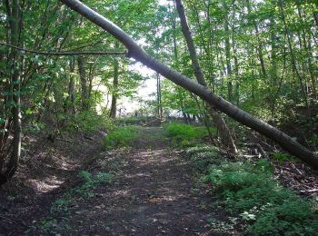
![Tocht Te voet - Skibby Hjertesti - Photo](https://media.geolcdn.com/t/350/260/3af9adae-2e76-4d9b-998d-38b062086b8a.jpeg&format=jpg&maxdim=2)
![Te voet Te voet](https://static1.geolcdn.com/sitytour/trail-icons/100.png)
Km
Te voet
![](/images/other/stat-length.png)
![](https://static1.geolcdn.com/siteimages/upload/files/1508320355ic_sort_den_pos_24dp.png)
![](https://static1.geolcdn.com/siteimages/upload/files/1508320355ic_sort_den_neg_24dp.png)
![](https://static1.geolcdn.com/siteimages/upload/files/16400158638029165_repeat_loop_refresh_sync_direction_icon.png)
• Trail created by Hjerteforeningen. Website: https://hjerteforeningen.dk/hjertestier/
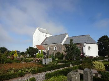
![Tocht Te voet - Lerkenfeld Ådalsstien - Photo](https://media.geolcdn.com/t/350/260/4a033eff-fe0c-49ce-ba1b-dffcbeab48d2.jpeg&format=jpg&maxdim=2)
![Te voet Te voet](https://static1.geolcdn.com/sitytour/trail-icons/100.png)
Km
Te voet
![](/images/other/stat-length.png)
![](https://static1.geolcdn.com/siteimages/upload/files/1508320355ic_sort_den_pos_24dp.png)
![](https://static1.geolcdn.com/siteimages/upload/files/1508320355ic_sort_den_neg_24dp.png)
![](https://static1.geolcdn.com/siteimages/upload/files/16400158638029165_repeat_loop_refresh_sync_direction_icon.png)
• Trail created by Gedsted Borger- og Erhvervsforening, Gl. Ullits Borgerforening og Vesterbølle Sogns Beboerforening.
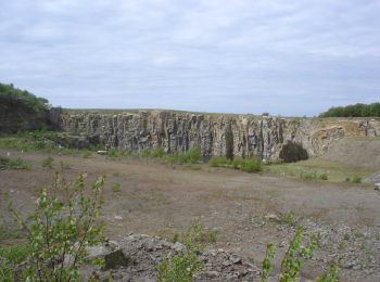
![Tocht Te voet - Ringebakkerne - Photo](https://media.geolcdn.com/t/350/260/c405dee0-bdcc-463f-979b-ddefc704ad8f.jpeg&format=jpg&maxdim=2)
![Te voet Te voet](https://static1.geolcdn.com/sitytour/trail-icons/100.png)
Km
Te voet
![](/images/other/stat-length.png)
![](https://static1.geolcdn.com/siteimages/upload/files/1508320355ic_sort_den_pos_24dp.png)
![](https://static1.geolcdn.com/siteimages/upload/files/1508320355ic_sort_den_neg_24dp.png)
![](https://static1.geolcdn.com/siteimages/upload/files/16400158638029165_repeat_loop_refresh_sync_direction_icon.png)
• Symbol: yellow marker
![Tocht Te voet - Blå rute - Photo](https://media.geolcdn.com/t/350/260/9bf39c97-fabe-4e38-ae7f-0656e8fd739e.jpeg&format=jpg&maxdim=2)
![Te voet Te voet](https://static1.geolcdn.com/sitytour/trail-icons/100.png)
Km
Te voet
![](/images/other/stat-length.png)
![](https://static1.geolcdn.com/siteimages/upload/files/1508320355ic_sort_den_pos_24dp.png)
![](https://static1.geolcdn.com/siteimages/upload/files/1508320355ic_sort_den_neg_24dp.png)
![](https://static1.geolcdn.com/siteimages/upload/files/16400158638029165_repeat_loop_refresh_sync_direction_icon.png)
• Symbol: blue square
![Tocht Te voet - Rebild Bakker Ruten - Photo](https://media.geolcdn.com/t/350/260/7b609f34-df19-4d39-8bd2-6b527836e8ca.jpeg&format=jpg&maxdim=2)
![Te voet Te voet](https://static1.geolcdn.com/sitytour/trail-icons/100.png)
Km
Te voet
![](/images/other/stat-length.png)
![](https://static1.geolcdn.com/siteimages/upload/files/1508320355ic_sort_den_pos_24dp.png)
![](https://static1.geolcdn.com/siteimages/upload/files/1508320355ic_sort_den_neg_24dp.png)
![](https://static1.geolcdn.com/siteimages/upload/files/16400158638029165_repeat_loop_refresh_sync_direction_icon.png)
• Rebild Bakker ruten er en certificeret vandrerute på 10,8 km. Ruten tager dig igennem nogle af de smukkeste områder i...
20 tochten weergegeven op 375
Gratisgps-wandelapplicatie