


11,4 km | 16,4 km-effort
Trendelburg: Ontdek de beste tochten: 13 te voet. Al deze tochten, trajecten, routes en outdoor activiteiten zijn beschikbaar in onze SityTrail-apps voor smartphones en tablets.

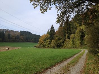
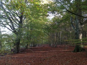
Te voet


• Trail created by Naturpark Reinhardswald, Heimatverein Trendelburg.
Te voet
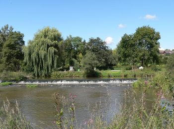
• Trail created by Landkreis Kassel.
Te voet
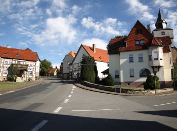
• Trail created by Stadt Trendlburg.
Te voet
• Trail created by Stadt Trendlburg. Mangelhafte Ausschilderung außerhalb des Ortes
Te voet
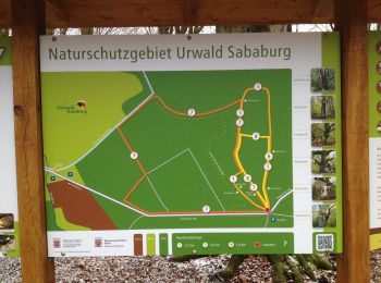
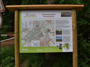
• Die Eco Pfade im Landkreis Kassel sollen dazu anregen, sich mit der Geschichte der Region zu beschäftigen, Zeugen der...
Te voet
• Die Eco Pfade im Landkreis Kassel sollen dazu anregen, sich mit der Geschichte der Region zu beschäftigen, Zeugen der...
Te voet
• Trail created by Hessisch-Waldeckischer Gebirgs- und Heimatverein(HWGHV).

Te voet
Te voet
Te voet
Te voet

Te voet
Te voet
13 tochten weergegeven op 13
Gratisgps-wandelapplicatie
 SityTrail
IGN / Geografische instituten
SityTrail World
De wereld gaat voor u open