


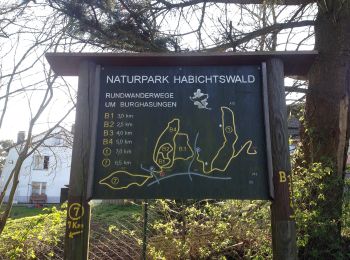
5 km | 6 km-effort
Zierenberg: Ontdek de beste tochten: 8 te voet. Al deze tochten, trajecten, routes en outdoor activiteiten zijn beschikbaar in onze SityTrail-apps voor smartphones en tablets.

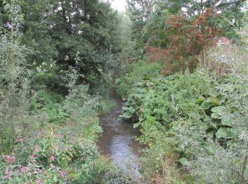
Te voet


• Trail created by Hessisch-Waldeckischer Gebirgs- und Heimatverein(HWGHV). Symbol: gelbe 1 in gelbem Kreis
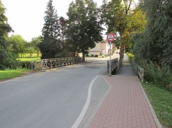
Te voet
• Variante Rangen
Te voet
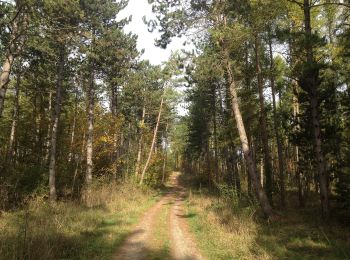
Te voet
Te voet
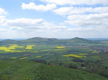
Te voet
Te voet
Te voet
8 tochten weergegeven op 8
Gratisgps-wandelapplicatie
 SityTrail
IGN / Geografische instituten
SityTrail World
De wereld gaat voor u open