


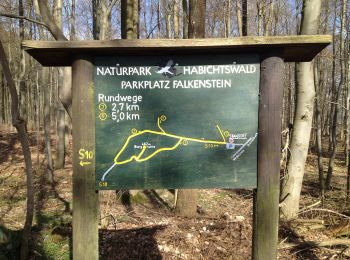
4,4 km | 5,8 km-effort
Schauenburg: Ontdek de beste tochten: 13 te voet. Al deze tochten, trajecten, routes en outdoor activiteiten zijn beschikbaar in onze SityTrail-apps voor smartphones en tablets.
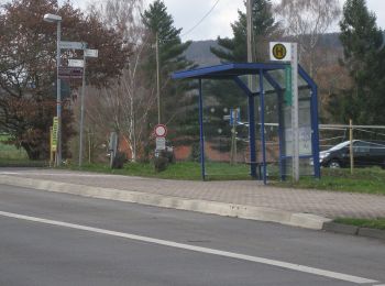
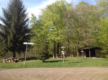
Te voet


• Trail created by Gemeinde Schauenburg.
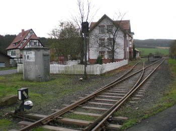
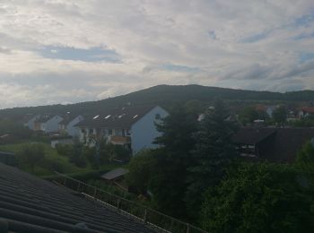
Te voet
• Trail created by Gemeinde Schauenburg.
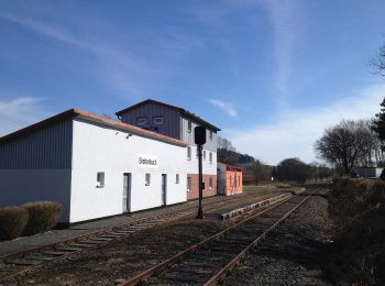
Te voet
• Trail created by Gemeinde Schauenburg.
Te voet
• Trail created by Hessisch-Waldeckischer Gebirgs- und Heimatverein(HWGHV).
Te voet
• Trail created by Hessisch-Waldeckischer Gebirgs- und Heimatverein(HWGHV).
Te voet
• Trail created by Hessisch-Waldeckischer Gebirgs- und Heimatverein(HWGHV).
Te voet
• Trail created by Kassel Land. Symbol: weißer Buchstabe H und weiße tiefgestellte Zahl 4 auf purpurnem kreisförmigem ...
Te voet
Te voet
Te voet
Te voet
• Trail created by Gemeinde Schauenburg.
Te voet
Te voet
13 tochten weergegeven op 13
Gratisgps-wandelapplicatie
 SityTrail
IGN / Geografische instituten
SityTrail World
De wereld gaat voor u open