


12,7 km | 16,1 km-effort
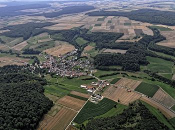
Liebenau: Ontdek de beste tochten: 24 te voet. Al deze tochten, trajecten, routes en outdoor activiteiten zijn beschikbaar in onze SityTrail-apps voor smartphones en tablets.
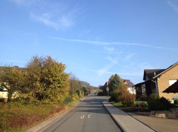
Te voet


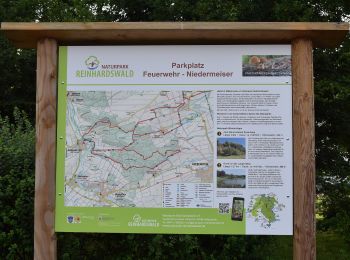
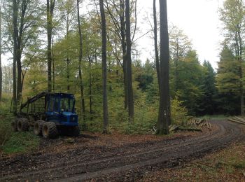
• Trail created by Naturpark Reinhardswald.
Te voet
• Trail created by Naturpark Reinhardswald.
Te voet
• Trail created by Hessisch-Waldeckischer Gebirgs- und Heimatverein(HWGHV).
Te voet
Te voet
Te voet
Te voet
Te voet
Te voet
Te voet
Te voet
Te voet
Te voet
Te voet
Te voet
Te voet
Te voet
Te voet
Te voet

Te voet
• unvollständig
20 tochten weergegeven op 24
Gratisgps-wandelapplicatie
 SityTrail
IGN / Geografische instituten
SityTrail World
De wereld gaat voor u open