


10,3 km | 14,1 km-effort
Dautphetal: Ontdek de beste tochten: 4 te voet. Al deze tochten, trajecten, routes en outdoor activiteiten zijn beschikbaar in onze SityTrail-apps voor smartphones en tablets.
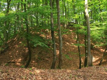
Te voet


• Trail created by Wanderfreunde Treisbach.
Te voet
• Trail created by Naturpark Lahn-Dill-Bergland. Symbol: stilisierter Berg und Fluß in Grün auf weißem Grund
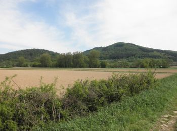
Te voet
• Trail created by Naturpark Lahn-Dill-Bergland. Symbol: stilisierter Berg und Fluß in Grün auf weißem Grund

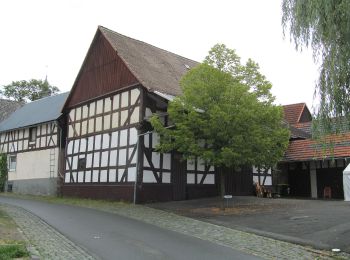
Te voet
• Trail created by Oberhessischer Gebirgsverein. Symbol: Schwarzer Punkt auf weißem Grund
4 tochten weergegeven op 4
Gratisgps-wandelapplicatie
 SityTrail
IGN / Geografische instituten
SityTrail World
De wereld gaat voor u open