


14 km | 18 km-effort
Landkreis Birkenfeld: Ontdek de beste tochten: 21 te voet. Al deze tochten, trajecten, routes en outdoor activiteiten zijn beschikbaar in onze SityTrail-apps voor smartphones en tablets.
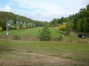
Te voet


• Symbol: stilisiertes S und H auf lila Grund
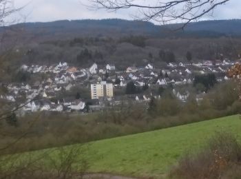
Te voet
• Symbol: stilisiertes S und H auf lila Grund
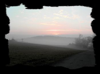
Te voet
• Symbol: Weißes Schild mit orangem Rechteck, darin verschlungenes "SH", darunter "Saar-Hunsrück", darunter "Steig". Ga...
Te voet
• Symbol: Weißes Schild mit orangem Rechteck, darin verschlungenes "SH", darunter "Saar-Hunsrück", darunter "Steig". Ga...
Te voet
• Symbol: stilisiertes S und H auf lila Grund
Te voet
• Trail created by Projektbüro Saar-Hunsrück-Steig. Symbol: stilisiertes S und H auf lila Grund
Te voet
• Trail created by Projektbüro Saar-Hunsrück-Steig. Symbol: stilisiertes S und H auf lila Grund
Te voet
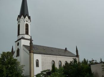
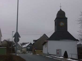
• Trail created by Natur und Wanderfreunde Heimbach. Symbol: Buchstabe B und Abbildung einer Kirche
Te voet
• Symbol: B1 graviert in braune Holzschilder
Te voet
• Symbol: alt: K1 graviert in braune Holzschilder. Zusätzlich neues Symbol: Weißes Schild, oben in schwarz "K1", darunt...
Te voet
• Symbol: Gelber Punkt
Te voet
• Symbol: Holzschild mit eingraviertem Text "Rundweg M3"
Te voet
• Symbol: Holzschild mit eingraviertem Text "Rundweg I1"
Te voet
• Symbol: Holzschild mit eingraviertem Text "Rundweg U2"

Te voet
• Trail created by Traumschleifen Saar-Hunsrück.
Te voet
• Trail created by Ortsgemeinde Reichenbach/Nahe. Symbol: roter Pfeil

Te voet
Te voet
• Trail created by Projektbüro Saar-Hunsrück-Steig. Symbol: stilisiertes S und H auf lila Grund
Te voet
• Symbol: Holzschild mit eingraviertem Text "Rundweg E1"
Te voet
20 tochten weergegeven op 21
Gratisgps-wandelapplicatie
 SityTrail
IGN / Geografische instituten
SityTrail World
De wereld gaat voor u open