


9,9 km | 12,7 km-effort
Euskirchen: Ontdek de beste tochten: 9 te voet. Al deze tochten, trajecten, routes en outdoor activiteiten zijn beschikbaar in onze SityTrail-apps voor smartphones en tablets.
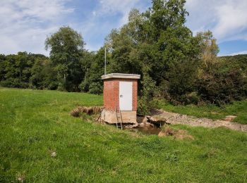
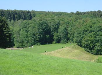
Te voet


• Trail created by Nordeifel Tourismus GmbH. Symbol: quadratisches Logo oben blaue Fläche (Himmel) unten grüne Fläche ...
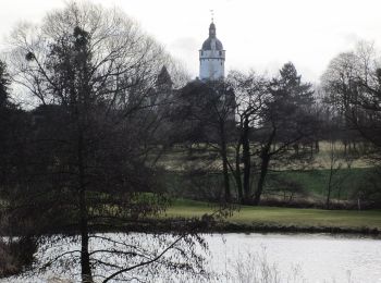
Te voet
• Trail created by Nordeifel Tourismus GmbH. Symbol: quadratisches Logo oben blaue Fläche (Himmel) unten grüne Fläche ...
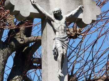
Te voet
• Trail created by Stadt Euskirchen. Symbol: Weißer Großbuchstabe B in schwarzem Kreis
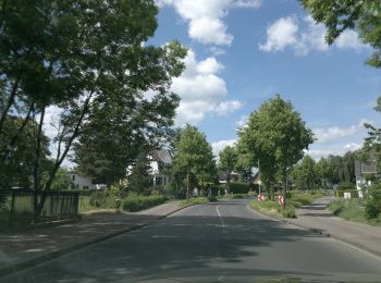
Te voet
• Trail created by Stadt Euskirchen. Symbol: Weißer Großbuchstabe A in schwarzem Kreis
Te voet
• Trail created by Stadt Euskirchen. Symbol: Roter Kreis
Te voet
• Trail created by Stadt Euskirchen. Symbol: Weißer Großbuchstabe A in blauem Kreis
Te voet
• Trail created by Nordeifel Tourismus GmbH. Symbol: quadratisches Logo oben blaue Fläche (Himmel) unten grüne Fläche ...

Stappen
Stappen
9 tochten weergegeven op 9
Gratisgps-wandelapplicatie
 SityTrail
IGN / Geografische instituten
SityTrail World
De wereld gaat voor u open