


14,8 km | 18,2 km-effort
Städteregion Aachen: Ontdek de beste tochten: 254 te voet en 30 met de fiets of mountainbike. Al deze tochten, trajecten, routes en outdoor activiteiten zijn beschikbaar in onze SityTrail-apps voor smartphones en tablets.
Stappen


Stappen
Stappen
Stappen
Stappen
Stappen

Stappen

Stappen
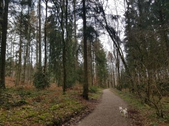
Te voet
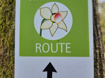
• Trail created by Naturfreunde NRW. Symbol: Grüner Wanderer auf blauen Wellen mit Überschrift WasserWege auf weißem G...
Te voet
• Trail created by Rursee-Touristik.
Te voet
• Trail created by Eifelverein OG Eicherscheid.
Te voet
• Trail created by Eifelverein OG Eicherscheid.
Te voet
• Trail created by Eifelverein OG Eicherscheid.
Te voet
• Trail created by Eifelverein - OG Eicherscheid.
Te voet
• Trail created by Eifelverein.
Te voet
• Trail created by Eifelverein Simmerath.
Te voet
• Trail created by Eifelverein Eicherscheid.
Te voet
• Trail created by Eifelverein.
Te voet
• Trail created by Eifelverein Simmerath.
Te voet
• Trail created by Eifelverein Lammersdorf.
20 tochten weergegeven op 302
Gratisgps-wandelapplicatie
 SityTrail
IGN / Geografische instituten
SityTrail World
De wereld gaat voor u open