


5,5 km | 6 km-effort
Am Mellensee: Ontdek de beste tochten: 7 te voet. Al deze tochten, trajecten, routes en outdoor activiteiten zijn beschikbaar in onze SityTrail-apps voor smartphones en tablets.
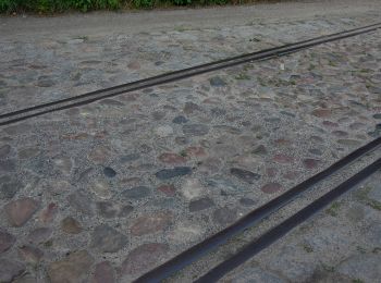
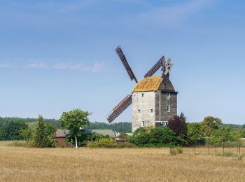
Te voet


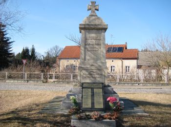
• Trail created by Pro Mellensee e.V..
Te voet
• Trail created by proMellensee e.V..
Te voet
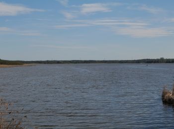
• Trail created by proMellensee e.V..
Te voet
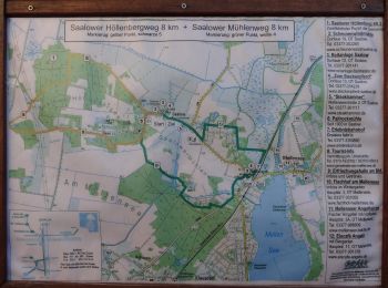
• Trail created by proMellensee e.V.. Symbol: gelber Punkt mit schwarzer 3
Te voet
• Trail created by proMellensee e.V.. Symbol: grüner Punkt mit weißer 6 Website: https://www.promellensee.de/klausdo...
Te voet
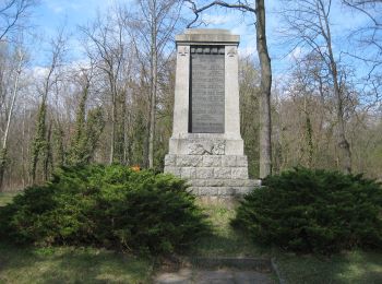
• proMellensee e.V. - Verein für Umwelt, Natur und sanften Tourismus rund um Mellensee Website: https://www.promellens...
Te voet
• Trail created by proMellensee. Symbol: gelber Punkt mit schwarzer 5 Website: https://www.promellensee.de/pdf/4-Saa...
7 tochten weergegeven op 7
Gratisgps-wandelapplicatie
 SityTrail
IGN / Geografische instituten
SityTrail World
De wereld gaat voor u open