![](/images/other/stat-length.png)
- Tochten
- Outdoor
- Germany
- Beieren
- Landkreis Lichtenfels
- Altenkunstadt
Altenkunstadt, Landkreis Lichtenfels: Top van de beste wandelroutes, trajecten, tochten en wandelingen
Altenkunstadt: Ontdek de beste tochten: 9 te voet. Al deze tochten, trajecten, routes en outdoor activiteiten zijn beschikbaar in onze SityTrail-apps voor smartphones en tablets.
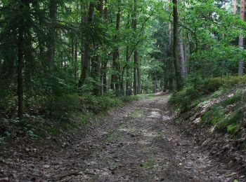
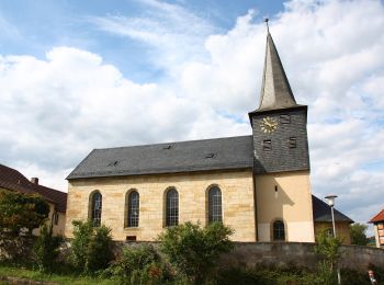
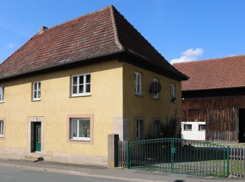
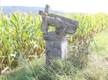
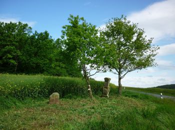
De beste trajecten (9)
![Tocht Te voet Altenkunstadt - Kulmitzberg-Rundweg - Photo](https://media.geolcdn.com/t/350/260/9eb56614-7042-49d3-86be-959e2881b4fc.jpeg&format=jpg&maxdim=2)
![Te voet Te voet](https://static1.geolcdn.com/sitytour/trail-icons/100.png)
Km
Te voet
![](/images/other/stat-length.png)
![](https://static1.geolcdn.com/siteimages/upload/files/1508320355ic_sort_den_pos_24dp.png)
![](https://static1.geolcdn.com/siteimages/upload/files/1508320355ic_sort_den_neg_24dp.png)
![](https://static1.geolcdn.com/siteimages/upload/files/16400158638029165_repeat_loop_refresh_sync_direction_icon.png)
• Trail created by Landkreis Lichtenfels. Derzeit existieren zwei Markierungen: rote 3 auf weißem Grund (alte Wegzeich...
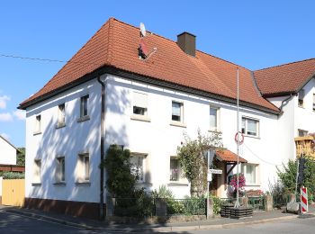
![Tocht Te voet Altenkunstadt - Obermain-Ostweg - Photo](https://media.geolcdn.com/t/350/260/7ff81915-3094-4481-8059-561e6ca2fef8.jpeg&format=jpg&maxdim=2)
![Te voet Te voet](https://static1.geolcdn.com/sitytour/trail-icons/100.png)
Km
Te voet
![](/images/other/stat-length.png)
![](https://static1.geolcdn.com/siteimages/upload/files/1508320355ic_sort_den_pos_24dp.png)
![](https://static1.geolcdn.com/siteimages/upload/files/1508320355ic_sort_den_neg_24dp.png)
![](https://static1.geolcdn.com/siteimages/upload/files/16400158638029165_repeat_loop_refresh_sync_direction_icon.png)
• Trail created by Landkreis Lichtenfels. Symbol: Gelbe liegende Raute auf weißem Hintergrund
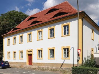
![Tocht Te voet Altenkunstadt - Rundweg F Maineck (Altenkunstadt) - Photo](https://media.geolcdn.com/t/350/260/146f2309-d92e-4a8c-81cd-26a0a9a700ae.jpeg&format=jpg&maxdim=2)
![Te voet Te voet](https://static1.geolcdn.com/sitytour/trail-icons/100.png)
Km
Te voet
![](/images/other/stat-length.png)
![](https://static1.geolcdn.com/siteimages/upload/files/1508320355ic_sort_den_pos_24dp.png)
![](https://static1.geolcdn.com/siteimages/upload/files/1508320355ic_sort_den_neg_24dp.png)
![](https://static1.geolcdn.com/siteimages/upload/files/16400158638029165_repeat_loop_refresh_sync_direction_icon.png)
• Trail created by Landkreis Lichtenfels. Symbol: Rotes F auf weißem Hintergrund
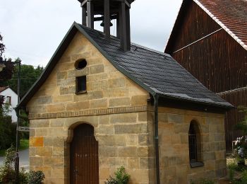
![Tocht Te voet Altenkunstadt - Prügeler Rundweg (Altenkunstadt) - Photo](https://media.geolcdn.com/t/350/260/29d60ed0-3624-4c12-94c7-16e3745de185.jpeg&format=jpg&maxdim=2)
![Te voet Te voet](https://static1.geolcdn.com/sitytour/trail-icons/100.png)
Km
Te voet
![](/images/other/stat-length.png)
![](https://static1.geolcdn.com/siteimages/upload/files/1508320355ic_sort_den_pos_24dp.png)
![](https://static1.geolcdn.com/siteimages/upload/files/1508320355ic_sort_den_neg_24dp.png)
![](https://static1.geolcdn.com/siteimages/upload/files/16400158638029165_repeat_loop_refresh_sync_direction_icon.png)
• Trail created by Landkreis Lichtenfels. Symbol: Rotes P auf weißem Hintergrund
![Tocht Te voet Altenkunstadt - Obermain Südweg - Photo](https://media.geolcdn.com/t/350/260/5ac01461-a1fc-4bc6-81aa-05aaf0afdaac.jpeg&format=jpg&maxdim=2)
![Te voet Te voet](https://static1.geolcdn.com/sitytour/trail-icons/100.png)
Km
Te voet
![](/images/other/stat-length.png)
![](https://static1.geolcdn.com/siteimages/upload/files/1508320355ic_sort_den_pos_24dp.png)
![](https://static1.geolcdn.com/siteimages/upload/files/1508320355ic_sort_den_neg_24dp.png)
![](https://static1.geolcdn.com/siteimages/upload/files/16400158638029165_repeat_loop_refresh_sync_direction_icon.png)
• Trail created by Landkreis Lichtenfels. Symbol: Rote Raute liegend auf weißem Hintergrund
![Tocht Te voet Altenkunstadt - Altenkunstadter Runde (Altenkunstadt) - Photo](https://media.geolcdn.com/t/350/260/d9e0c895-1935-4999-897c-aefc671fffb9.jpeg&format=jpg&maxdim=2)
![Te voet Te voet](https://static1.geolcdn.com/sitytour/trail-icons/100.png)
Km
Te voet
![](/images/other/stat-length.png)
![](https://static1.geolcdn.com/siteimages/upload/files/1508320355ic_sort_den_pos_24dp.png)
![](https://static1.geolcdn.com/siteimages/upload/files/1508320355ic_sort_den_neg_24dp.png)
![](https://static1.geolcdn.com/siteimages/upload/files/16400158638029165_repeat_loop_refresh_sync_direction_icon.png)
• Trail created by Landkreis Lichtenfels. Symbol: Rotes A auf weißem Hintergrund
![Tocht Te voet Altenkunstadt - Geutenreuther Spange - Photo](https://media.geolcdn.com/t/350/260/ba6f3d50-d128-4d01-9811-d82c0dc1f592.jpeg&format=jpg&maxdim=2)
![Te voet Te voet](https://static1.geolcdn.com/sitytour/trail-icons/100.png)
Km
Te voet
![](/images/other/stat-length.png)
![](https://static1.geolcdn.com/siteimages/upload/files/1508320355ic_sort_den_pos_24dp.png)
![](https://static1.geolcdn.com/siteimages/upload/files/1508320355ic_sort_den_neg_24dp.png)
![](https://static1.geolcdn.com/siteimages/upload/files/16400158638029165_repeat_loop_refresh_sync_direction_icon.png)
• Trail created by Landkreis Lichtenfels. Symbol: Weiße 1 zwischen zwei Punkten auf rotem Hintergrund
![Tocht Te voet Altenkunstadt - Wanderweg Spiesberg - Photo](https://media.geolcdn.com/t/350/260/3f262a0c-9ff0-4e67-b429-67add5e69d6e.jpeg&format=jpg&maxdim=2)
![Te voet Te voet](https://static1.geolcdn.com/sitytour/trail-icons/100.png)
Km
Te voet
![](/images/other/stat-length.png)
![](https://static1.geolcdn.com/siteimages/upload/files/1508320355ic_sort_den_pos_24dp.png)
![](https://static1.geolcdn.com/siteimages/upload/files/1508320355ic_sort_den_neg_24dp.png)
![](https://static1.geolcdn.com/siteimages/upload/files/16400158638029165_repeat_loop_refresh_sync_direction_icon.png)
• Trail created by Landkreis Lichtenfels. Derzeit existieren zwei Markierungen: rote 4 auf weißem Grund (alte Wegzeich...
![Tocht Te voet Altenkunstadt - Eulenberg Rundweg - Photo](https://media.geolcdn.com/t/350/260/5ac01461-a1fc-4bc6-81aa-05aaf0afdaac.jpeg&format=jpg&maxdim=2)
![Te voet Te voet](https://static1.geolcdn.com/sitytour/trail-icons/100.png)
Km
Te voet
![](/images/other/stat-length.png)
![](https://static1.geolcdn.com/siteimages/upload/files/1508320355ic_sort_den_pos_24dp.png)
![](https://static1.geolcdn.com/siteimages/upload/files/1508320355ic_sort_den_neg_24dp.png)
![](https://static1.geolcdn.com/siteimages/upload/files/16400158638029165_repeat_loop_refresh_sync_direction_icon.png)
• Trail created by Landkreis Lichtenfels. Derzeit existieren zwei Markierungen: rote 6 auf weißem Grund (alte Wegzeich...
9 tochten weergegeven op 9
Gratisgps-wandelapplicatie