![](/images/other/stat-length.png)
Hohenau, Landkreis Freyung-Grafenau: Top van de beste wandelroutes, trajecten, tochten en wandelingen
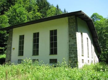
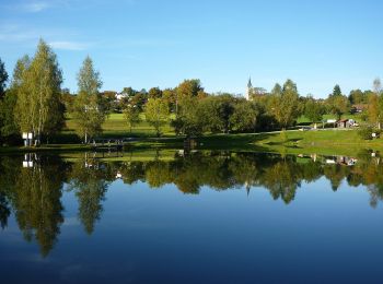
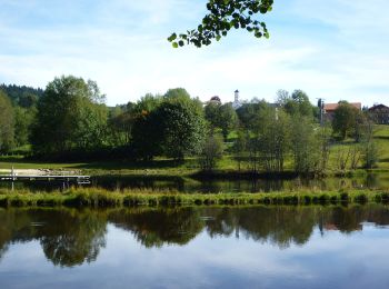
Hohenau: Ontdek de beste tochten: 7 te voet. Al deze tochten, trajecten, routes en outdoor activiteiten zijn beschikbaar in onze SityTrail-apps voor smartphones en tablets.
De beste trajecten (7)
![Tocht Te voet Hohenau - Rundwanderweg Nr. 4](https://media.geolcdn.com/t/350/260/497911dc-fe07-42a2-a25a-629c81211aed.jpeg&format=jpg&maxdim=2)
![Te voet Te voet](https://static1.geolcdn.com/sitytour/trail-icons/100.png)
Km
Te voet
![](/images/other/stat-length.png)
![](https://static1.geolcdn.com/siteimages/upload/files/1508320355ic_sort_den_pos_24dp.png)
![](https://static1.geolcdn.com/siteimages/upload/files/1508320355ic_sort_den_neg_24dp.png)
![](https://static1.geolcdn.com/siteimages/upload/files/16400158638029165_repeat_loop_refresh_sync_direction_icon.png)
• Trail created by Bayerischer Waldverein. Symbol: weiße 4 auf rotem Kreis
![Tocht Te voet Hohenau - Arnika - Photo](https://media.geolcdn.com/t/350/260/5eafdca3-2c73-440b-a078-a897ca2e98e6.jpeg&format=jpg&maxdim=2)
![Te voet Te voet](https://static1.geolcdn.com/sitytour/trail-icons/100.png)
Km
Te voet
![](/images/other/stat-length.png)
![](https://static1.geolcdn.com/siteimages/upload/files/1508320355ic_sort_den_pos_24dp.png)
![](https://static1.geolcdn.com/siteimages/upload/files/1508320355ic_sort_den_neg_24dp.png)
![](https://static1.geolcdn.com/siteimages/upload/files/16400158638029165_repeat_loop_refresh_sync_direction_icon.png)
• Trail created by Nationalpark Bayerischer Wald. Symbol: Pflanzensymbol (Arnika) in schwarz auf weißem quadratischem ...
![Tocht Te voet Hohenau - Glockenblume - Photo](https://media.geolcdn.com/t/350/260/140bd1e8-fd53-4b79-adeb-9cd36b677bfe.jpeg&format=jpg&maxdim=2)
![Te voet Te voet](https://static1.geolcdn.com/sitytour/trail-icons/100.png)
Km
Te voet
![](/images/other/stat-length.png)
![](https://static1.geolcdn.com/siteimages/upload/files/1508320355ic_sort_den_pos_24dp.png)
![](https://static1.geolcdn.com/siteimages/upload/files/1508320355ic_sort_den_neg_24dp.png)
![](https://static1.geolcdn.com/siteimages/upload/files/16400158638029165_repeat_loop_refresh_sync_direction_icon.png)
• Trail created by Nationalpark Bayerischer Wald. Symbol: Pflanzensymbol (Glockenblume) in schwarz auf weißem quadrati...
![Tocht Te voet Hohenau - Umleitungsstrecke für Wildschutzgebiet um die Steinbachklause. - Photo](https://media.geolcdn.com/t/350/260/140bd1e8-fd53-4b79-adeb-9cd36b677bfe.jpeg&format=jpg&maxdim=2)
![Te voet Te voet](https://static1.geolcdn.com/sitytour/trail-icons/100.png)
Km
Te voet
![](/images/other/stat-length.png)
![](https://static1.geolcdn.com/siteimages/upload/files/1508320355ic_sort_den_pos_24dp.png)
![](https://static1.geolcdn.com/siteimages/upload/files/1508320355ic_sort_den_neg_24dp.png)
![](https://static1.geolcdn.com/siteimages/upload/files/16400158638029165_repeat_loop_refresh_sync_direction_icon.png)
• Trail created by Nationalpark Bayerischer Wald. Symbol: Symbole der umgeleiteten Wanderwege.
![Tocht Te voet Hohenau - Eisvogel - Photo](https://media.geolcdn.com/t/350/260/140bd1e8-fd53-4b79-adeb-9cd36b677bfe.jpeg&format=jpg&maxdim=2)
![Te voet Te voet](https://static1.geolcdn.com/sitytour/trail-icons/100.png)
Km
Te voet
![](/images/other/stat-length.png)
![](https://static1.geolcdn.com/siteimages/upload/files/1508320355ic_sort_den_pos_24dp.png)
![](https://static1.geolcdn.com/siteimages/upload/files/1508320355ic_sort_den_neg_24dp.png)
![](https://static1.geolcdn.com/siteimages/upload/files/16400158638029165_repeat_loop_refresh_sync_direction_icon.png)
• Trail created by Nationalpark Bayerischer Wald. Symbol: Tiersymbol (Eisvogel) in schwarz auf gelbem quadratischem Gr...
![Tocht Te voet Hohenau - Stier - Photo](https://media.geolcdn.com/t/350/260/ext.jpg?maxdim=2&url=https%3A%2F%2Fstatic1.geolcdn.com%2Fsiteimages%2Fupload%2Ffiles%2F1545311037marcheuse_200dpi.jpg)
![Te voet Te voet](https://static1.geolcdn.com/sitytour/trail-icons/100.png)
Km
Te voet
![](/images/other/stat-length.png)
![](https://static1.geolcdn.com/siteimages/upload/files/1508320355ic_sort_den_pos_24dp.png)
![](https://static1.geolcdn.com/siteimages/upload/files/1508320355ic_sort_den_neg_24dp.png)
![](https://static1.geolcdn.com/siteimages/upload/files/16400158638029165_repeat_loop_refresh_sync_direction_icon.png)
• Trail created by Nationalpark Bayerischer Wald. Symbol: Tiersymbol (Stier) in schwarz auf gelbem quadratischem Grund
![Tocht Te voet Hohenau - Eberesche - Photo](https://media.geolcdn.com/t/350/260/ext.jpg?maxdim=2&url=https%3A%2F%2Fstatic1.geolcdn.com%2Fsiteimages%2Fupload%2Ffiles%2F1545311037marcheuse_200dpi.jpg)
![Te voet Te voet](https://static1.geolcdn.com/sitytour/trail-icons/100.png)
Km
Te voet
![](/images/other/stat-length.png)
![](https://static1.geolcdn.com/siteimages/upload/files/1508320355ic_sort_den_pos_24dp.png)
![](https://static1.geolcdn.com/siteimages/upload/files/1508320355ic_sort_den_neg_24dp.png)
![](https://static1.geolcdn.com/siteimages/upload/files/16400158638029165_repeat_loop_refresh_sync_direction_icon.png)
• Trail created by Nationalpark Bayerischer Wald. Symbol: Pflanzensymbol (Eberesche) in schwarz auf weißem quadratisch...
7 tochten weergegeven op 7
Gratisgps-wandelapplicatie