![](/images/other/stat-length.png)
- Tochten
- Outdoor
- Germany
- Beieren
- Landkreis Haßberge
- Breitbrunn
Breitbrunn, Landkreis Haßberge: Top van de beste wandelroutes, trajecten, tochten en wandelingen
Breitbrunn: Ontdek de beste tochten: 4 te voet. Al deze tochten, trajecten, routes en outdoor activiteiten zijn beschikbaar in onze SityTrail-apps voor smartphones en tablets.
De beste trajecten (4)
![Tocht Te voet Breitbrunn - Rundwanderweg Hase Lußberg - Photo](https://media.geolcdn.com/t/350/260/7b754189-9687-4740-acc0-8c8b14bd3099.jpeg&format=jpg&maxdim=2)
![Te voet Te voet](https://static1.geolcdn.com/sitytour/trail-icons/100.png)
Km
Te voet
![](/images/other/stat-length.png)
![](https://static1.geolcdn.com/siteimages/upload/files/1508320355ic_sort_den_pos_24dp.png)
![](https://static1.geolcdn.com/siteimages/upload/files/1508320355ic_sort_den_neg_24dp.png)
![](https://static1.geolcdn.com/siteimages/upload/files/16400158638029165_repeat_loop_refresh_sync_direction_icon.png)
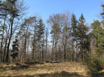
• Trail created by Haßbergverein Veitenstein/Breitbrunn. Symbol: Schwarzer Hase auf gelbem Hintergrund
![Tocht Te voet Breitbrunn - Lauftour BRB2 - Photo](https://media.geolcdn.com/t/350/260/d762ac53-2739-400e-bb5d-13e62cd3a5e6.jpeg&format=jpg&maxdim=2)
![Te voet Te voet](https://static1.geolcdn.com/sitytour/trail-icons/100.png)
Km
Te voet
![](/images/other/stat-length.png)
![](https://static1.geolcdn.com/siteimages/upload/files/1508320355ic_sort_den_pos_24dp.png)
![](https://static1.geolcdn.com/siteimages/upload/files/1508320355ic_sort_den_neg_24dp.png)
![](https://static1.geolcdn.com/siteimages/upload/files/16400158638029165_repeat_loop_refresh_sync_direction_icon.png)
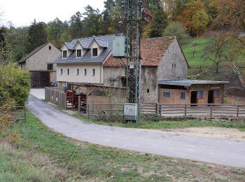
• Trail created by Landkreis Haßberge/Lauftour Haßberge. Symbol: Blaue BRB2 auf weißem Hintergrund
![Tocht Te voet Breitbrunn - Lauftour BRB1 - Photo](https://media.geolcdn.com/t/350/260/a35807d9-9af9-402d-9156-e8a9ce3a6610.jpeg&format=jpg&maxdim=2)
![Te voet Te voet](https://static1.geolcdn.com/sitytour/trail-icons/100.png)
Km
Te voet
![](/images/other/stat-length.png)
![](https://static1.geolcdn.com/siteimages/upload/files/1508320355ic_sort_den_pos_24dp.png)
![](https://static1.geolcdn.com/siteimages/upload/files/1508320355ic_sort_den_neg_24dp.png)
![](https://static1.geolcdn.com/siteimages/upload/files/16400158638029165_repeat_loop_refresh_sync_direction_icon.png)
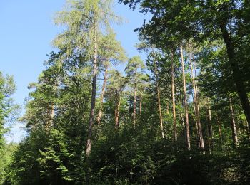
• Trail created by Landkreis Haßberge/Lauftour Haßberge. Symbol: Blaue BRB1 auf weißem Hintergrund
![Tocht Te voet Breitbrunn - Fuchs-Wanderweg Breitbrunn - Photo](https://media.geolcdn.com/t/350/260/9dc46ddd-b583-48de-b3d6-3bc310a2d6dc.jpeg&format=jpg&maxdim=2)
![Te voet Te voet](https://static1.geolcdn.com/sitytour/trail-icons/100.png)
Km
Te voet
![](/images/other/stat-length.png)
![](https://static1.geolcdn.com/siteimages/upload/files/1508320355ic_sort_den_pos_24dp.png)
![](https://static1.geolcdn.com/siteimages/upload/files/1508320355ic_sort_den_neg_24dp.png)
![](https://static1.geolcdn.com/siteimages/upload/files/16400158638029165_repeat_loop_refresh_sync_direction_icon.png)
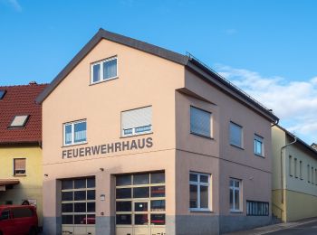
• Symbol: schwarzer Fuchs auf gelbem Grund
4 tochten weergegeven op 4
Gratisgps-wandelapplicatie