
Roth, Landkreis Roth: Top van de beste wandelroutes, trajecten, tochten en wandelingen
Roth: Ontdek de beste tochten: 12 te voet. Al deze tochten, trajecten, routes en outdoor activiteiten zijn beschikbaar in onze SityTrail-apps voor smartphones en tablets.
De beste trajecten (12)

Km
Te voet


• Trail created by Zweckverband Rothsee. abgeschlossen (Nov. 2013 by cycling_zno) Symbol: Weisse 6 auf blauem Grund

Km
Te voet


• Trail created by Zweckverband Rothsee. abgeschlossen (Nov. 2013 by cycling_zno) Symbol: Weisse 2 auf blauem Grund

Km
Te voet


• Trail created by Stadt Roth. Symbol: ?

Km
Te voet


• Trail created by Zweckverband Rothsee. abgeschlossen (Nov. 2013 by cycling_zno) Symbol: Weisse 9 auf blauem Grund
Km
Te voet


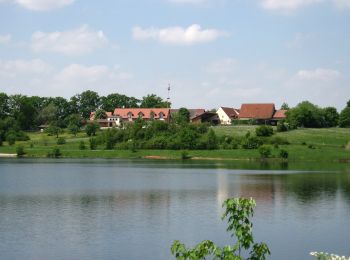
• Trail created by Stadt Roth. Symbol: t.b.d.

Km
Te voet


• Trail created by Stadt Hilpoltstein. Symbol: t.b.d.
Km
Te voet


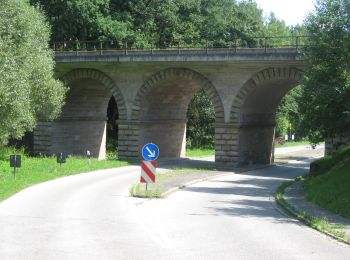
• Trail created by Stadt Roth. Symbol: ?
Km
Te voet


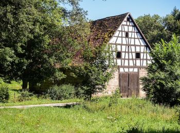
• Trail created by Gemeinde Pyrbaum. abgeschlossen (Jan. 2013 by cycling_zno) Symbol: Schwarze 2 auf gelbem Grund
Km
Te voet


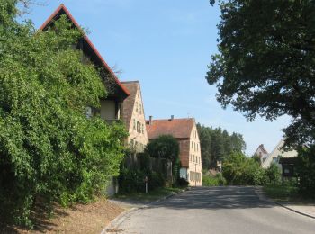
• Trail created by Stadt Roth. Symbol: ?
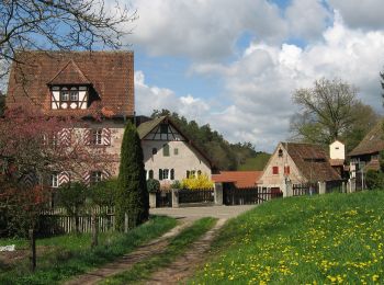
Km
Te voet


• Trail created by Stadt Roth. Symbol: ?

Km
Te voet


• Trail created by Stadt Roth. Symbol: t.b.d.

Km
Te voet


• Trail created by Zweckverband Rothsee. abgeschlossen (Nov. 2013 by cycling_zno) Symbol: Weisse 7 auf blauem Grund
12 tochten weergegeven op 12
Gratisgps-wandelapplicatie


 SityTrail


