![](/images/other/stat-length.png)
- Tochten
- Outdoor
- Germany
- Beieren
- Landkreis Amberg-Sulzbach
- Weigendorf
Weigendorf, Landkreis Amberg-Sulzbach: Top van de beste wandelroutes, trajecten, tochten en wandelingen
Weigendorf: Ontdek de beste tochten: 4 te voet. Al deze tochten, trajecten, routes en outdoor activiteiten zijn beschikbaar in onze SityTrail-apps voor smartphones en tablets.
De beste trajecten (4)

![Tocht Te voet Weigendorf - Weigendorf - Photo](https://media.geolcdn.com/t/350/260/4d140da1-bbfd-420c-9345-77eddfd6ef62.jpeg&format=jpg&maxdim=2)
![Te voet Te voet](https://static1.geolcdn.com/sitytour/trail-icons/100.png)
Km
Te voet
![](/images/other/stat-length.png)
![](https://static1.geolcdn.com/siteimages/upload/files/1508320355ic_sort_den_pos_24dp.png)
![](https://static1.geolcdn.com/siteimages/upload/files/1508320355ic_sort_den_neg_24dp.png)
![](https://static1.geolcdn.com/siteimages/upload/files/16400158638029165_repeat_loop_refresh_sync_direction_icon.png)
• Trail created by Gemeinde Weigendorf. Symbol: Weiße 1 auf grünem Punkt
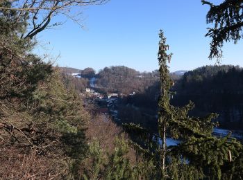
![Tocht Te voet Weigendorf - Rundwanderweg Weigendorf - Photo](https://media.geolcdn.com/t/350/260/fb07430b-fd86-4351-a47f-01af0c5d578c.jpeg&format=jpg&maxdim=2)
![Te voet Te voet](https://static1.geolcdn.com/sitytour/trail-icons/100.png)
Km
Te voet
![](/images/other/stat-length.png)
![](https://static1.geolcdn.com/siteimages/upload/files/1508320355ic_sort_den_pos_24dp.png)
![](https://static1.geolcdn.com/siteimages/upload/files/1508320355ic_sort_den_neg_24dp.png)
![](https://static1.geolcdn.com/siteimages/upload/files/16400158638029165_repeat_loop_refresh_sync_direction_icon.png)
• Trail created by nicht bekannt. geprüft (März 2014, by cycling_zno) Symbol: Roter Ring auf weißem Grund
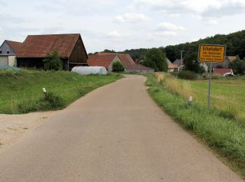
![Tocht Te voet Weigendorf - Rundwanderweg Roter Punkt Ernhüll - Photo](https://media.geolcdn.com/t/350/260/2fc42541-9f46-44c9-86a3-0a08ca12a8a3.jpeg&format=jpg&maxdim=2)
![Te voet Te voet](https://static1.geolcdn.com/sitytour/trail-icons/100.png)
Km
Te voet
![](/images/other/stat-length.png)
![](https://static1.geolcdn.com/siteimages/upload/files/1508320355ic_sort_den_pos_24dp.png)
![](https://static1.geolcdn.com/siteimages/upload/files/1508320355ic_sort_den_neg_24dp.png)
![](https://static1.geolcdn.com/siteimages/upload/files/16400158638029165_repeat_loop_refresh_sync_direction_icon.png)
• Trail created by Naturfreunde Ernhüll. Symbol: Roter Punkt auf weißem Grund
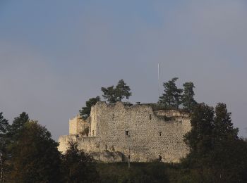
![Tocht Te voet Weigendorf - Rundweg um Lichtenegg - Photo](https://media.geolcdn.com/t/350/260/0edf5d49-9a11-4635-a567-07212aad5122.jpeg&format=jpg&maxdim=2)
![Te voet Te voet](https://static1.geolcdn.com/sitytour/trail-icons/100.png)
Km
Te voet
![](/images/other/stat-length.png)
![](https://static1.geolcdn.com/siteimages/upload/files/1508320355ic_sort_den_pos_24dp.png)
![](https://static1.geolcdn.com/siteimages/upload/files/1508320355ic_sort_den_neg_24dp.png)
![](https://static1.geolcdn.com/siteimages/upload/files/16400158638029165_repeat_loop_refresh_sync_direction_icon.png)
• Trail created by Fränkischer Albverein. comleted by cycling_zno Symbol: Blauer Ring auf weißem Grund
4 tochten weergegeven op 4
Gratisgps-wandelapplicatie