![](/images/other/stat-length.png)
- Tochten
- Outdoor
- Germany
- Beieren
- Landkreis Nürnberger Land
- Neunkirchen a. Sand
Neunkirchen a. Sand, Landkreis Nürnberger Land: Top van de beste wandelroutes, trajecten, tochten en wandelingen
Neunkirchen a. Sand: Ontdek de beste tochten: 15 te voet. Al deze tochten, trajecten, routes en outdoor activiteiten zijn beschikbaar in onze SityTrail-apps voor smartphones en tablets.
De beste trajecten (15)
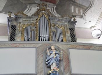
![Tocht Te voet Neunkirchen a. Sand - Schnaittachtalwanderweg - Photo](https://media.geolcdn.com/t/350/260/4b3ec6c1-e7fe-4b9a-890e-68e11ef3781c.jpeg&format=jpg&maxdim=2)
![Te voet Te voet](https://static1.geolcdn.com/sitytour/trail-icons/100.png)
Km
Te voet
![](/images/other/stat-length.png)
![](https://static1.geolcdn.com/siteimages/upload/files/1508320355ic_sort_den_pos_24dp.png)
![](https://static1.geolcdn.com/siteimages/upload/files/1508320355ic_sort_den_neg_24dp.png)
![](https://static1.geolcdn.com/siteimages/upload/files/16400158638029165_repeat_loop_refresh_sync_direction_icon.png)
• nicht ausgeschildert aus Wanderflyer Website: http://www.vgn.de/freizeit/freizeittipps/schnaittachtalbahn/
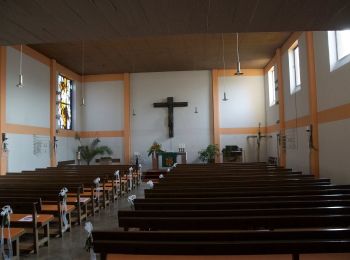
![Tocht Te voet Neunkirchen a. Sand - Neunkirchen am Sand Rundwanderweg Rot 8 - Photo](https://media.geolcdn.com/t/350/260/214c787a-2260-4370-b7e8-4c4852b4eeaf.jpeg&format=jpg&maxdim=2)
![Te voet Te voet](https://static1.geolcdn.com/sitytour/trail-icons/100.png)
Km
Te voet
![](/images/other/stat-length.png)
![](https://static1.geolcdn.com/siteimages/upload/files/1508320355ic_sort_den_pos_24dp.png)
![](https://static1.geolcdn.com/siteimages/upload/files/1508320355ic_sort_den_neg_24dp.png)
![](https://static1.geolcdn.com/siteimages/upload/files/16400158638029165_repeat_loop_refresh_sync_direction_icon.png)
• Trail created by Gemeinde Neunkirchen am Sand. geprüft (Feb. 2015, by cycling_zno) Symbol: Weiße 8 auf rotem Grund
![Tocht Te voet Neunkirchen a. Sand - Neunkirchen am Sand Rundwanderweg Grün 5 - Photo](https://media.geolcdn.com/t/350/260/214c787a-2260-4370-b7e8-4c4852b4eeaf.jpeg&format=jpg&maxdim=2)
![Te voet Te voet](https://static1.geolcdn.com/sitytour/trail-icons/100.png)
Km
Te voet
![](/images/other/stat-length.png)
![](https://static1.geolcdn.com/siteimages/upload/files/1508320355ic_sort_den_pos_24dp.png)
![](https://static1.geolcdn.com/siteimages/upload/files/1508320355ic_sort_den_neg_24dp.png)
![](https://static1.geolcdn.com/siteimages/upload/files/16400158638029165_repeat_loop_refresh_sync_direction_icon.png)
• Trail created by Gemeinde Neunkirchen am Sand. geprüft (Feb. 2015, by cycling_zno) Symbol: weisse 5 auf gruen
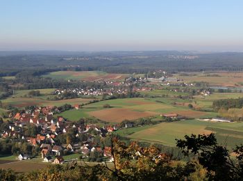
![Tocht Te voet Neunkirchen a. Sand - Neunkirchen am Sand Rundwanderweg Grün 4 - Photo](https://media.geolcdn.com/t/350/260/4cd08f0e-1488-41f5-86e8-a39965dbd687.jpeg&format=jpg&maxdim=2)
![Te voet Te voet](https://static1.geolcdn.com/sitytour/trail-icons/100.png)
Km
Te voet
![](/images/other/stat-length.png)
![](https://static1.geolcdn.com/siteimages/upload/files/1508320355ic_sort_den_pos_24dp.png)
![](https://static1.geolcdn.com/siteimages/upload/files/1508320355ic_sort_den_neg_24dp.png)
![](https://static1.geolcdn.com/siteimages/upload/files/16400158638029165_repeat_loop_refresh_sync_direction_icon.png)
• Trail created by Gemeinde Neunkirchen am Sand. geprüft (Feb. 2015, by cycling_zno) Symbol: weisse 4 auf gruen
![Tocht Te voet Neunkirchen a. Sand - Neunkirchen am Sand Rundwanderweg Grün 3 - Photo](https://media.geolcdn.com/t/350/260/214c787a-2260-4370-b7e8-4c4852b4eeaf.jpeg&format=jpg&maxdim=2)
![Te voet Te voet](https://static1.geolcdn.com/sitytour/trail-icons/100.png)
Km
Te voet
![](/images/other/stat-length.png)
![](https://static1.geolcdn.com/siteimages/upload/files/1508320355ic_sort_den_pos_24dp.png)
![](https://static1.geolcdn.com/siteimages/upload/files/1508320355ic_sort_den_neg_24dp.png)
![](https://static1.geolcdn.com/siteimages/upload/files/16400158638029165_repeat_loop_refresh_sync_direction_icon.png)
• Trail created by Gemeinde Neunkirchen am Sand. geprüft (Feb. 2015, by cycling_zno) Symbol: weisse 3 auf gruen
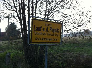
![Tocht Te voet Neunkirchen a. Sand - Neunkirchen am Sand Rundwanderweg Rot 1 - Photo](https://media.geolcdn.com/t/350/260/974f376b-4aa9-40c4-93fc-e27cce86b2ee.jpeg&format=jpg&maxdim=2)
![Te voet Te voet](https://static1.geolcdn.com/sitytour/trail-icons/100.png)
Km
Te voet
![](/images/other/stat-length.png)
![](https://static1.geolcdn.com/siteimages/upload/files/1508320355ic_sort_den_pos_24dp.png)
![](https://static1.geolcdn.com/siteimages/upload/files/1508320355ic_sort_den_neg_24dp.png)
![](https://static1.geolcdn.com/siteimages/upload/files/16400158638029165_repeat_loop_refresh_sync_direction_icon.png)
• Trail created by Gemeinde Neunkirchen am Sand. geprüft (Feb. 2015, by cycling_zno) Symbol: weisse 1 auf rot
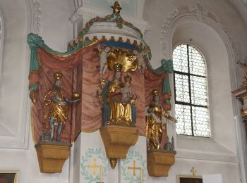
![Tocht Te voet Neunkirchen a. Sand - Neunkirchen am Sand Rundwanderweg Blau 3 - Photo](https://media.geolcdn.com/t/350/260/48630274-2759-4b00-a064-d1dcf9128523.jpeg&format=jpg&maxdim=2)
![Te voet Te voet](https://static1.geolcdn.com/sitytour/trail-icons/100.png)
Km
Te voet
![](/images/other/stat-length.png)
![](https://static1.geolcdn.com/siteimages/upload/files/1508320355ic_sort_den_pos_24dp.png)
![](https://static1.geolcdn.com/siteimages/upload/files/1508320355ic_sort_den_neg_24dp.png)
![](https://static1.geolcdn.com/siteimages/upload/files/16400158638029165_repeat_loop_refresh_sync_direction_icon.png)
• Trail created by Gemeinde Neunkirchen am Sand. geprüft (April 2014, by cycling_zno) Symbol: weisse 3 auf blau
![Tocht Te voet Neunkirchen a. Sand - Neunkirchen am Sand Rundwanderweg Blau 2 - Photo](https://media.geolcdn.com/t/350/260/214c787a-2260-4370-b7e8-4c4852b4eeaf.jpeg&format=jpg&maxdim=2)
![Te voet Te voet](https://static1.geolcdn.com/sitytour/trail-icons/100.png)
Km
Te voet
![](/images/other/stat-length.png)
![](https://static1.geolcdn.com/siteimages/upload/files/1508320355ic_sort_den_pos_24dp.png)
![](https://static1.geolcdn.com/siteimages/upload/files/1508320355ic_sort_den_neg_24dp.png)
![](https://static1.geolcdn.com/siteimages/upload/files/16400158638029165_repeat_loop_refresh_sync_direction_icon.png)
• Trail created by Gemeinde Neunkirchen am Sand. geprüft (Feb. 2015, by cycling_zno) Symbol: weisse 2 auf blau
![Tocht Te voet Neunkirchen a. Sand - Neunkirchen am Sand Rundwanderweg Blau 1 - Photo](https://media.geolcdn.com/t/350/260/214c787a-2260-4370-b7e8-4c4852b4eeaf.jpeg&format=jpg&maxdim=2)
![Te voet Te voet](https://static1.geolcdn.com/sitytour/trail-icons/100.png)
Km
Te voet
![](/images/other/stat-length.png)
![](https://static1.geolcdn.com/siteimages/upload/files/1508320355ic_sort_den_pos_24dp.png)
![](https://static1.geolcdn.com/siteimages/upload/files/1508320355ic_sort_den_neg_24dp.png)
![](https://static1.geolcdn.com/siteimages/upload/files/16400158638029165_repeat_loop_refresh_sync_direction_icon.png)
• Trail created by Gemeinde Neunkirchen am Sand. geprüft (Feb. 2105 by cycling_zno) Symbol: weisse 1 auf blau
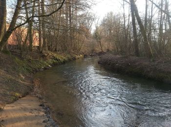
![Tocht Te voet Neunkirchen a. Sand - Neunkirchen am Sand Rundwanderweg Blau 4 - Photo](https://media.geolcdn.com/t/350/260/ec0dde0b-423e-43ec-8bce-e3f756701ccd.jpeg&format=jpg&maxdim=2)
![Te voet Te voet](https://static1.geolcdn.com/sitytour/trail-icons/100.png)
Km
Te voet
![](/images/other/stat-length.png)
![](https://static1.geolcdn.com/siteimages/upload/files/1508320355ic_sort_den_pos_24dp.png)
![](https://static1.geolcdn.com/siteimages/upload/files/1508320355ic_sort_den_neg_24dp.png)
![](https://static1.geolcdn.com/siteimages/upload/files/16400158638029165_repeat_loop_refresh_sync_direction_icon.png)
• Trail created by Gemeinde Neunkirchen am Sand. geprüft (Feb. 2015, by cycling_zno) Symbol: weisse 4 auf blau
![Tocht Te voet Neunkirchen a. Sand - Neunkirchen am Sand Rundwanderweg Rot 7 - Photo](https://media.geolcdn.com/t/350/260/214c787a-2260-4370-b7e8-4c4852b4eeaf.jpeg&format=jpg&maxdim=2)
![Te voet Te voet](https://static1.geolcdn.com/sitytour/trail-icons/100.png)
Km
Te voet
![](/images/other/stat-length.png)
![](https://static1.geolcdn.com/siteimages/upload/files/1508320355ic_sort_den_pos_24dp.png)
![](https://static1.geolcdn.com/siteimages/upload/files/1508320355ic_sort_den_neg_24dp.png)
![](https://static1.geolcdn.com/siteimages/upload/files/16400158638029165_repeat_loop_refresh_sync_direction_icon.png)
• Trail created by Gemeinde Neunkirchen am Sand. geprüft (Feb. 2015, by cycling_zno) Symbol: weisse 7 auf rot
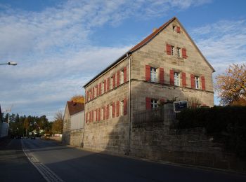
![Tocht Te voet Neunkirchen a. Sand - Neunkirchen am Sand Rundwanderweg Rot 5 - Photo](https://media.geolcdn.com/t/350/260/f4e1ceb1-8854-427d-8ab7-da1e3278ddb3.jpeg&format=jpg&maxdim=2)
![Te voet Te voet](https://static1.geolcdn.com/sitytour/trail-icons/100.png)
Km
Te voet
![](/images/other/stat-length.png)
![](https://static1.geolcdn.com/siteimages/upload/files/1508320355ic_sort_den_pos_24dp.png)
![](https://static1.geolcdn.com/siteimages/upload/files/1508320355ic_sort_den_neg_24dp.png)
![](https://static1.geolcdn.com/siteimages/upload/files/16400158638029165_repeat_loop_refresh_sync_direction_icon.png)
• Trail created by Gemeinde Neunkirchen am Sand. geprüft (Feb. 2015, by cycling_zno) Symbol: Weiße 5 auf rotem Grund
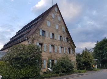
![Tocht Te voet Neunkirchen a. Sand - Neunkirchen am Sand Rundwanderweg Grün 1 - Photo](https://media.geolcdn.com/t/350/260/214d9b85-fe9b-495c-ab29-331a5b9a6461.jpeg&format=jpg&maxdim=2)
![Te voet Te voet](https://static1.geolcdn.com/sitytour/trail-icons/100.png)
Km
Te voet
![](/images/other/stat-length.png)
![](https://static1.geolcdn.com/siteimages/upload/files/1508320355ic_sort_den_pos_24dp.png)
![](https://static1.geolcdn.com/siteimages/upload/files/1508320355ic_sort_den_neg_24dp.png)
![](https://static1.geolcdn.com/siteimages/upload/files/16400158638029165_repeat_loop_refresh_sync_direction_icon.png)
• Trail created by Gemeinde Neunkirchen am Sand. geprüft (Feb. 2015, by cycling_zno) Symbol: weisse 1 auf gruen
![Tocht Te voet Neunkirchen a. Sand - Archäologischer Wanderweg Neunkirchen a. Sand - Photo](https://media.geolcdn.com/t/350/260/4cd08f0e-1488-41f5-86e8-a39965dbd687.jpeg&format=jpg&maxdim=2)
![Te voet Te voet](https://static1.geolcdn.com/sitytour/trail-icons/100.png)
Km
Te voet
![](/images/other/stat-length.png)
![](https://static1.geolcdn.com/siteimages/upload/files/1508320355ic_sort_den_pos_24dp.png)
![](https://static1.geolcdn.com/siteimages/upload/files/1508320355ic_sort_den_neg_24dp.png)
![](https://static1.geolcdn.com/siteimages/upload/files/16400158638029165_repeat_loop_refresh_sync_direction_icon.png)
• Trail created by Heimat- und Geschichtsverein Neunkirchen a. Sand. geprüft (Feb. 2015, by cycling_zno) Symbol: Stei...
![Tocht Te voet Neunkirchen a. Sand - Landkreislauf Nürnberger Land 2011 Etappe 10 - Photo](https://media.geolcdn.com/t/350/260/ext.jpg?maxdim=2&url=https%3A%2F%2Fstatic1.geolcdn.com%2Fsiteimages%2Fupload%2Ffiles%2F1545311037marcheuse_200dpi.jpg)
![Te voet Te voet](https://static1.geolcdn.com/sitytour/trail-icons/100.png)
Km
Te voet
![](/images/other/stat-length.png)
![](https://static1.geolcdn.com/siteimages/upload/files/1508320355ic_sort_den_pos_24dp.png)
![](https://static1.geolcdn.com/siteimages/upload/files/1508320355ic_sort_den_neg_24dp.png)
![](https://static1.geolcdn.com/siteimages/upload/files/16400158638029165_repeat_loop_refresh_sync_direction_icon.png)
• Trail created by Landratsamt Nürnberg Land. tag by Wankmann Website: http://landkreislauf.de/
15 tochten weergegeven op 15
Gratisgps-wandelapplicatie