Distretto di Lugano, Ticino: Top van de beste wandelroutes, trajecten, tochten en wandelingen

3 opmerkingen

Distretto di Lugano: Ontdek de beste tochten: 36 te voet en 8 met de fiets of mountainbike. Al deze tochten, trajecten, routes en outdoor activiteiten zijn beschikbaar in onze SityTrail-apps voor smartphones en tablets.


De beste trajecten (57)
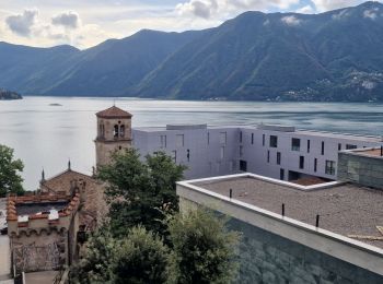
Tocht Stappen Lugano - Circuit decouverte Lugano - Photo
Stappen 24.63
Km
GUIDE

Stappen

Medium
Lugano, Ticino, Distretto di Lugano, Switzerland
25 km | 40 km-effort
5h 42min
1167 m
1174 m
Ja
chessyca

Tocht Te voet Monteceneri - CH-Monte Ceneri - Alpe Foppa - Photo
Te voet 6.095
Km
GUIDE+

Te voet

Gemakkelijk
Monteceneri, Ticino, Distretto di Lugano, Switzerland
6,1 km | 15,9 km-effort
3h 36min
976 m
6 m
Neen
SityTrail - itinéraires balisés pédestres

• Monte Ceneri - Alpe Foppa Symbol: bianco-rosso-bianco
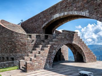
Tocht Te voet Monteceneri - CH-Alpe Foppa - Piano di Mora - Photo
Te voet 3.562
Km
GUIDE+

Te voet

Gemakkelijk
Monteceneri, Ticino, Distretto di Lugano, Switzerland
3,6 km | 4,9 km-effort
1h 7min
6 m
395 m
Neen
SityTrail - itinéraires balisés pédestres

• Alpe Foppa - Piano di Mora Symbol: bianco-rosso-bianco
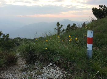
Tocht Te voet Capriasca - Cattle Trail - Photo
Te voet 20.295
Km
GUIDE+

Te voet

Medium
Capriasca, Ticino, Distretto di Lugano, Switzerland
20 km | 30 km-effort
6h 53min
769 m
691 m
Neen
SityTrail - itinéraires balisés pédestres

• Symbol: front view of a bovine head, on a green backgroung, with black text "Cattle Trail"
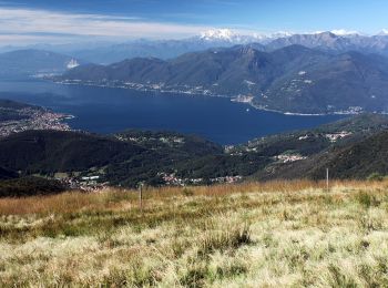
Tocht Te voet Astano - Dumenza - Curiglia - Photo
Te voet 11.182
Km
GUIDE+

Te voet

Medium
Astano, Ticino, Distretto di Lugano, Switzerland
11,2 km | 21 km-effort
4h 50min
654 m
1085 m
Neen
SityTrail - itinéraires balisés pédestres

• Lunghezza totale del percorso: Km 16,500Tempo di percorrenza (andata): h 6:30Tempo di percorrenza (ritorno): h 6:10Di...
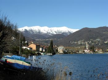
Tocht Te voet Caslano - Giro/Tour Monte Caslano - Photo
Te voet 4.429
Km
GUIDE+

Te voet

Gemakkelijk
Caslano, Ticino, Distretto di Lugano, Switzerland
4,4 km | 6 km-effort
1h 21min
118 m
118 m
Ja
SityTrail - itinéraires balisés pédestres

• Giro/Tour Monte Caslano Symbol: gelber Diamant
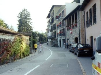
Tocht Te voet Melide - Melide-Vico Morcote - Photo
Te voet 4.055
Km
GUIDE+

Te voet

Gemakkelijk
Melide, Ticino, Distretto di Lugano, Switzerland
4,1 km | 6,6 km-effort
1h 30min
235 m
60 m
Neen
SityTrail - itinéraires balisés pédestres

• Melide-Vico Morcote Symbol: weiss-rot-weiss
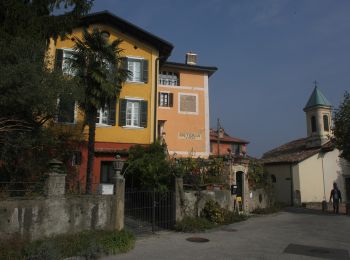
Tocht Te voet Lugano - Carona-Alpe Vicania - Photo
Te voet 3.76
Km
GUIDE+

Te voet

Gemakkelijk
Lugano, Ticino, Distretto di Lugano, Switzerland
3,8 km | 5,9 km-effort
1h 20min
167 m
133 m
Neen
SityTrail - itinéraires balisés pédestres

• Carona-Alpe Vicania Symbol: weiss-rot-weiss
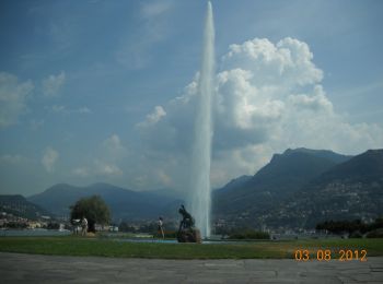
Tocht Te voet Paradiso - Paradiso-San Salvatore - Photo
Te voet 3.24
Km
GUIDE+

Te voet

Gemakkelijk
Paradiso, Ticino, Distretto di Lugano, Switzerland
3,2 km | 9,1 km-effort
2h 3min
575 m
18 m
Neen
SityTrail - itinéraires balisés pédestres

• Paradiso-San Salvatore Symbol: weiss-rot-weiss

Tocht Te voet Capriasca - Tesserete-Comano - Photo
Te voet 4.848
Km
GUIDE+

Te voet

Gemakkelijk
Capriasca, Ticino, Distretto di Lugano, Switzerland
4,8 km | 7,4 km-effort
1h 40min
191 m
189 m
Neen
SityTrail - itinéraires balisés pédestres

• Tesserete-Comano Symbol: weiss-rot-weiss
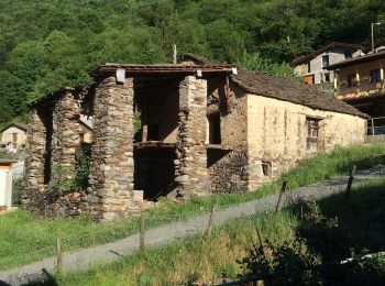
Tocht Te voet Monteceneri - Isone-Gola di Lago - Photo
Te voet 4.698
Km
GUIDE+

Te voet

Gemakkelijk
Monteceneri, Ticino, Distretto di Lugano, Switzerland
4,7 km | 6,9 km-effort
1h 33min
105 m
335 m
Neen
SityTrail - itinéraires balisés pédestres

• Isone-Gola di Lago Symbol: weiss-rot-weiss
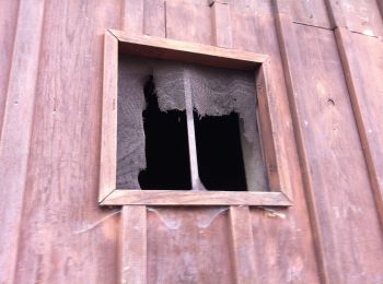
Tocht Te voet Monteceneri - CH-Monte Ceneri - Monti di Spina di Sopra - Photo
Te voet 4.473
Km
GUIDE+

Te voet

Gemakkelijk
Monteceneri, Ticino, Distretto di Lugano, Switzerland
4,5 km | 10,6 km-effort
2h 24min
574 m
105 m
Neen
SityTrail - itinéraires balisés pédestres

• Monte Ceneri - Monti di Spina di Sopra Symbol: bianco-rosso-bianco
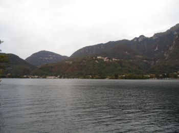
Tocht Te voet Melano - Maroggia - Bissone - Photo
Te voet 3.639
Km
GUIDE+

Te voet

Gemakkelijk
Melano, Ticino, Distretto di Lugano, Switzerland
3,6 km | 6,1 km-effort
1h 23min
185 m
183 m
Neen
SityTrail - itinéraires balisés pédestres

Tocht Te voet Capriasca - Condra-Tesserete - Photo
Te voet 3.436
Km
GUIDE+

Te voet

Gemakkelijk
Capriasca, Ticino, Distretto di Lugano, Switzerland
3,4 km | 5,1 km-effort
1h 8min
0 m
485 m
Neen
SityTrail - itinéraires balisés pédestres

• Condra-Tesserete Symbol: weiss-rot-weiss

Tocht Te voet Monteceneri - Gola di Lago-Condra - Photo
Te voet 3.525
Km
GUIDE+

Te voet

Gemakkelijk
Monteceneri, Ticino, Distretto di Lugano, Switzerland
3,5 km | 5,2 km-effort
1h 11min
137 m
96 m
Neen
SityTrail - itinéraires balisés pédestres

• Gola di Lago-Condra Symbol: weiss-rot-weiss

Tocht Andere activiteiten Paradiso - y10_hoehenweg_luganersee - Photo
Andere activiteiten 12.241
Km
GUIDE+

Andere activiteiten

Heel gemakkelijk
Paradiso, Ticino, Distretto di Lugano, Switzerland
12,2 km | 22 km-effort
5h 16min
807 m
500 m
Neen
My Switzerland

Tocht Andere activiteiten Caslano - y10_caslano - Photo
Andere activiteiten 3.485
Km
GUIDE+

Andere activiteiten

Heel gemakkelijk
Caslano, Ticino, Distretto di Lugano, Switzerland
3,5 km | 6,3 km-effort
1h 30min
208 m
212 m
Ja
My Switzerland

Tocht Andere activiteiten Lugano - y10_monte_boglia - Photo
Andere activiteiten 13.093
Km
GUIDE+

Andere activiteiten

Heel gemakkelijk
Lugano, Ticino, Distretto di Lugano, Switzerland
13,1 km | 32 km-effort
7h 5min
1543 m
1038 m
Neen
My Switzerland

Tocht Stappen Capriasca - hike32 - Photo
Stappen 13.529
Km
GUIDE+

Stappen

Heel gemakkelijk
Capriasca, Ticino, Distretto di Lugano, Switzerland
13,5 km | 19,5 km-effort
Onbekend
400 m
584 m
Neen
My Switzerland

Tocht Stappen Monteceneri - ticino_test - Photo
Stappen 21.302
Km
GUIDE+

Stappen

Heel gemakkelijk
Monteceneri, Ticino, Distretto di Lugano, Switzerland
21 km | 32 km-effort
Onbekend
588 m
1471 m
Neen
My Switzerland

20 tochten weergegeven op 57

Sluiten
Mijn abonnementen