


13,4 km | 18,8 km-effort
Verwaltungskreis Thun: Ontdek de beste tochten: 11 te voet en 1 met de fiets of mountainbike. Al deze tochten, trajecten, routes en outdoor activiteiten zijn beschikbaar in onze SityTrail-apps voor smartphones en tablets.
Te voet


• Symbol: gelber Diamant
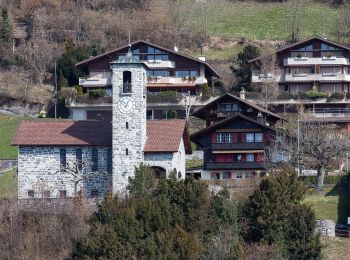
Te voet
• Trail created by Berner Wanderwege. Justistal/Grön - fixme Symbol: gelbe Raute
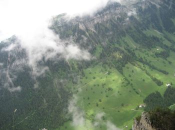
Te voet
• Symbol: weiss-rot-weiss
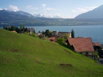
Stappen
• Promenade au bord du lac de Thoune, trajet Merligen-Gunten en bâteau.

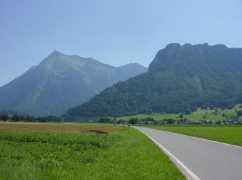
Te voet
• Symbol: gelber Diamant
Stappen
Kanoën - kajakken
Andere activiteiten
Andere activiteiten
•

Stappen
•
Stappen
•

Mountainbike
•
Stappen
Stappen
Andere activiteiten
•
Andere activiteiten
•
Andere activiteiten
•
Andere activiteiten
Andere activiteiten
Andere activiteiten
20 tochten weergegeven op 26
Gratisgps-wandelapplicatie
 SityTrail
IGN / Geografische instituten
SityTrail World
De wereld gaat voor u open