


3,3 km | 4,7 km-effort
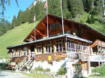
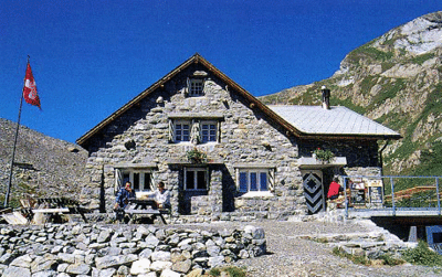
Verwaltungskreis Obersimmental-Saanen: Ontdek de beste tochten: 28 te voet en 8 met de fiets of mountainbike. Al deze tochten, trajecten, routes en outdoor activiteiten zijn beschikbaar in onze SityTrail-apps voor smartphones en tablets.
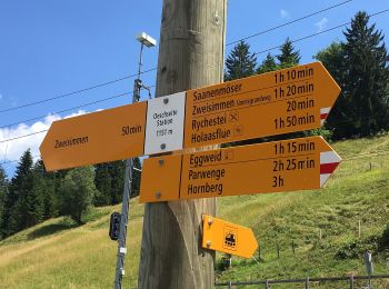
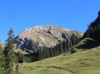
Te voet


• Symbol: gelber Diamant
Te voet
• Symbol: weiss-rot-weiss

Te voet
• Trail created by Berner Wanderwege. Gibel - Gütsch Symbol: gelber Rhombus
Te voet
• Trail created by Berner Wanderwege. Schwand - Laubbärgli Symbol: Roter Balken auf weissem Rechteck
Te voet
• Trail created by Berner Wanderwege. Symbol: weiss-rot-weiss
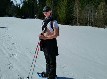
Ski randonnée
Stappen
Stappen
Stappen

Stappen
•
Stappen
•
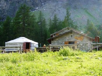
Andere activiteiten
•
Andere activiteiten
•
Stappen
•

Mountainbike
Stappen
Mountainbike
•
Mountainbike
•
Mountainbike
•
Stappen
20 tochten weergegeven op 83
Gratisgps-wandelapplicatie
 SityTrail
IGN / Geografische instituten
SityTrail World
De wereld gaat voor u open