


9,2 km | 12,5 km-effort
Valbroye: Ontdek de beste tochten: 3 te voet en 5 met de fiets of mountainbike. Al deze tochten, trajecten, routes en outdoor activiteiten zijn beschikbaar in onze SityTrail-apps voor smartphones en tablets.
Stappen


• De Granges Coumin Surpierre et Villeneuve
Fiets
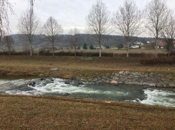
• Tout au long de la Broye

Fiets
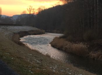
• Tout au long de la Broye
Wegfiets
Fiets
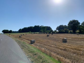
• Sur la rive droite de la Broye puis passerelle Anne-Marie Brit Ménières Sassel et Granges

Fiets
• Sur la rive droite de la Broye puis passerelle Anne-Marie Brit Ménières Sassel et Granges

Stappen
•

Stappen
8 tochten weergegeven op 8
Gratisgps-wandelapplicatie
 SityTrail
IGN / Geografische instituten
SityTrail World
De wereld gaat voor u open