


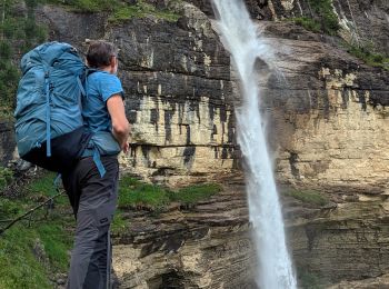
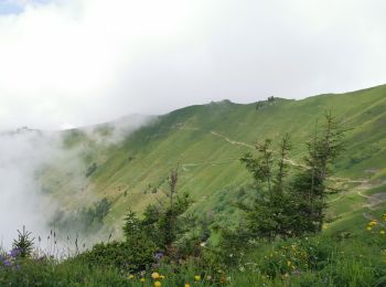
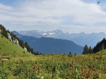
8,9 km | 23 km-effort
District d'Aigle: Ontdek de beste tochten: 108 te voet en 16 met de fiets of mountainbike. Al deze tochten, trajecten, routes en outdoor activiteiten zijn beschikbaar in onze SityTrail-apps voor smartphones en tablets.
Stappen


Stappen

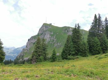
Te voet
• Website: http://www.sentierdusel.ch/
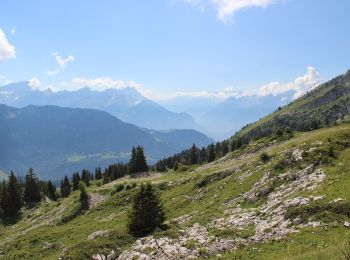
Te voet
Stappen
Stappen
Stappen
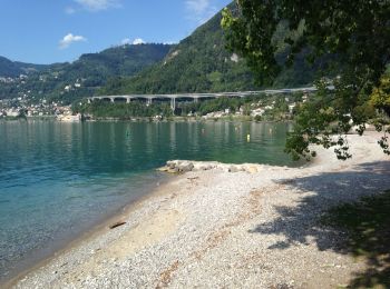
• Petite Rando au départ de Villeneuve et retour à Villeneuve. Le parcours grimpe sur les hauts de Villeneuve à travers...
Fiets
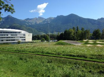
• Balade sympa de début de saison sur de petites routes pratiquement sans circulation. La plaine du Rhône, les coteaux ...
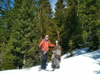
Stappen
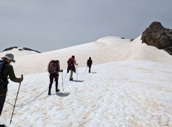
Ski randonnée
Stappen

Andere activiteiten
•
Andere activiteiten
•

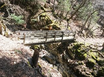
Stappen
•
Stappen

Mountainbike
•
Mountainbike
•
Stappen
Mountainbike
•
Stappen
•
20 tochten weergegeven op 237
Gratisgps-wandelapplicatie
 SityTrail
IGN / Geografische instituten
SityTrail World
De wereld gaat voor u open