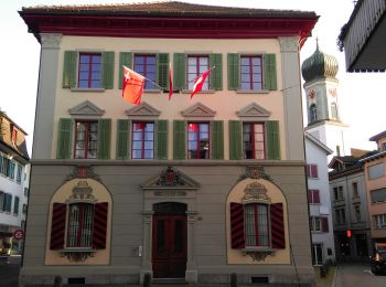
March, Schwyz: Top van de beste wandelroutes, trajecten, tochten en wandelingen

March: Ontdek de beste tochten: 28 te voet. Al deze tochten, trajecten, routes en outdoor activiteiten zijn beschikbaar in onze SityTrail-apps voor smartphones en tablets.


De beste trajecten (31)

Tocht Te voet Schübelbach - Schübelbach - Tostel - Photo
Te voet 3.286
Km
GUIDE+

Te voet

Gemakkelijk
Schübelbach, Schwyz, March, Switzerland
3,3 km | 9,1 km-effort
2h 4min
583 m
1 m
Neen
SityTrail - itinéraires balisés pédestres

• Symbol: weiss-rot-weiss

Tocht Te voet Innerthal - CH-Au - Stock - Photo
Te voet 3.254
Km
GUIDE+

Te voet

Gemakkelijk
Innerthal, Schwyz, March, Switzerland
3,3 km | 4,1 km-effort
56min
68 m
64 m
Neen
SityTrail - itinéraires balisés pédestres

• Trail created by Umweltdepartement Kt Schwyz. Au - Stock Symbol: gelber Diamant
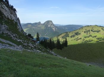
Tocht Te voet Innerthal - Schwarzenegghöchi - Innerthal - Photo
Te voet 3.939
Km
GUIDE+

Te voet

Gemakkelijk
Innerthal, Schwyz, March, Switzerland
3,9 km | 5,5 km-effort
1h 15min
4 m
469 m
Neen
SityTrail - itinéraires balisés pédestres

• Trail created by Umweltdepartement Kt Schwyz. Symbol: gelber Diamant
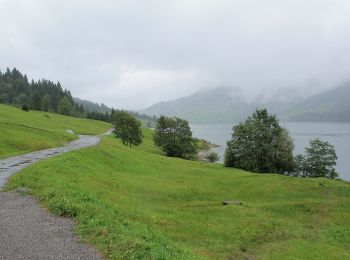
Tocht Te voet Innerthal - Au-Diethelm - Photo
Te voet 4.332
Km
GUIDE+

Te voet

Gemakkelijk
Innerthal, Schwyz, March, Switzerland
4,3 km | 15,4 km-effort
3h 30min
1109 m
1 m
Neen
SityTrail - itinéraires balisés pédestres

• Au-Diethelm Symbol: rot weiss rot

Tocht Te voet Innerthal - Innerthal - Hinter Bruch - Photo
Te voet 5.556
Km
GUIDE+

Te voet

Gemakkelijk
Innerthal, Schwyz, March, Switzerland
5,6 km | 7 km-effort
1h 35min
114 m
83 m
Neen
SityTrail - itinéraires balisés pédestres

• Trail created by Umweltdepartement Kt Schwyz. Innerthal - Hinter Bruch Symbol: gelber Diamant

Tocht Te voet Galgenen - Staldenhöhe - Sonne (Vorderthal) - Photo
Te voet 4.031
Km
GUIDE+

Te voet

Gemakkelijk
Galgenen, Schwyz, March, Switzerland
4 km | 5,5 km-effort
1h 15min
109 m
124 m
Neen
SityTrail - itinéraires balisés pédestres

• Trail created by Umweltdepartement Kt Schwyz. Staldenhöhe - Sonne (Vorderthal) Symbol: gelber Diamant
Tocht Te voet Galgenen - Mosen - Grabenegg - Photo
Te voet 3.185
Km
GUIDE+

Te voet

Gemakkelijk
Galgenen, Schwyz, March, Switzerland
3,2 km | 7,4 km-effort
1h 40min
417 m
6 m
Neen
SityTrail - itinéraires balisés pédestres

• Trail created by Umweltdepartement Kt Schwyz. Mosen - Grabenegg Symbol: gelber Diamant
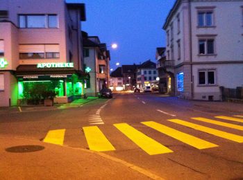
Tocht Te voet Schübelbach - Siebnen - Steinegg - Photo
Te voet 3.702
Km
GUIDE+

Te voet

Gemakkelijk
Schübelbach, Schwyz, March, Switzerland
3,7 km | 4,1 km-effort
55min
31 m
25 m
Neen
SityTrail - itinéraires balisés pédestres

• Trail created by Umweltdepartement Kt Schwyz. Symbol: gelber Diamant

Tocht Te voet Innerthal - Rundgang Wägitalersee - Photo
Te voet 12.758
Km
GUIDE+

Te voet

Gemakkelijk
Innerthal, Schwyz, March, Switzerland
12,8 km | 16,6 km-effort
3h 46min
286 m
289 m
Ja
SityTrail - itinéraires balisés pédestres

• Symbol: gelber Diamant

Tocht Te voet Lachen - Lachen - Bräggerhof - Photo
Te voet 3.546
Km
GUIDE+

Te voet

Gemakkelijk
Lachen, Schwyz, March, Switzerland
3,5 km | 7,5 km-effort
1h 42min
397 m
1 m
Neen
SityTrail - itinéraires balisés pédestres

• Trail created by Umweltdepartement Kt Schwyz. Lachen - Bräggerhof Symbol: gelber Diamant
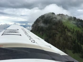
Tocht Te voet Innerthal - Staumauer - Gross Aubrig? - fixme - Photo
Te voet 4.667
Km
GUIDE+

Te voet

Gemakkelijk
Innerthal, Schwyz, March, Switzerland
4,7 km | 12,2 km-effort
2h 46min
643 m
330 m
Neen
SityTrail - itinéraires balisés pédestres

Tocht Te voet Vorderthal - Sonne - Ramseli - Photo
Te voet 6.872
Km
GUIDE+

Te voet

Gemakkelijk
Vorderthal, Schwyz, March, Switzerland
6,9 km | 11,4 km-effort
2h 34min
428 m
62 m
Neen
SityTrail - itinéraires balisés pédestres

• Symbol: gelber Diamant

Tocht Te voet Vorderthal - Vorderthal - Rötstock - Photo
Te voet 4.279
Km
GUIDE+

Te voet

Gemakkelijk
Vorderthal, Schwyz, March, Switzerland
4,3 km | 8,4 km-effort
1h 54min
413 m
0 m
Neen
SityTrail - itinéraires balisés pédestres

• Trail created by Umweltdepartement Kt Schwyz. Symbol: gelber Diamant
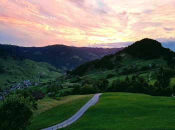
Tocht Te voet Vorderthal - Vorderthal - Stuckliwald - Photo
Te voet 5.588
Km
GUIDE+

Te voet

Gemakkelijk
Vorderthal, Schwyz, March, Switzerland
5,6 km | 11,2 km-effort
2h 32min
559 m
0 m
Neen
SityTrail - itinéraires balisés pédestres

• Trail created by Umweltdepartement Kt Schwyz. Symbol: gelber Diamant

Tocht Te voet Altendorf - Bräggerhof - Rindereggli - Photo
Te voet 4.406
Km
GUIDE+

Te voet

Gemakkelijk
Altendorf, Schwyz, March, Switzerland
4,4 km | 8,1 km-effort
1h 50min
371 m
5 m
Neen
SityTrail - itinéraires balisés pédestres

• Trail created by Umweltdepartement Kt Schwyz. Bräggerhof - Rindereggli Symbol: gelber Diamant
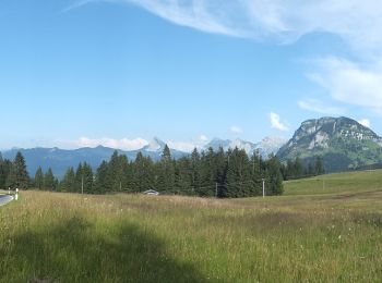
Tocht Te voet Vorderthal - Tuggner Hüttli - Sattelegg - Photo
Te voet 4.688
Km
GUIDE+

Te voet

Gemakkelijk
Vorderthal, Schwyz, March, Switzerland
4,7 km | 7,1 km-effort
1h 36min
199 m
119 m
Neen
SityTrail - itinéraires balisés pédestres

• Trail created by Umweltdepartement Kt Schwyz. Tuggner Hüttli - Sattelegg Symbol: gelber Diamant

Tocht Te voet Altendorf - Bräggerhof - Gueteregg - Photo
Te voet 4.432
Km
GUIDE+

Te voet

Gemakkelijk
Altendorf, Schwyz, March, Switzerland
4,4 km | 9 km-effort
2h 2min
452 m
4 m
Neen
SityTrail - itinéraires balisés pédestres

• Trail created by Umweltdepartement Kt Schwyz. Bräggerhof - Gueteregg Symbol: gelber Diamant

Tocht Te voet Galgenen - Wiselegg - Gueteregg - Photo
Te voet 3.363
Km
GUIDE+

Te voet

Gemakkelijk
Galgenen, Schwyz, March, Switzerland
3,4 km | 6,4 km-effort
1h 27min
296 m
18 m
Neen
SityTrail - itinéraires balisés pédestres

• Trail created by Umweltdepartement Kt Schwyz. Wiselegg - Gueteregg Symbol: gelber Diamant

Tocht Te voet Schübelbach - Schwändelen- Gross Feldrederten - Photo
Te voet 5.502
Km
GUIDE+

Te voet

Gemakkelijk
Schübelbach, Schwyz, March, Switzerland
5,5 km | 10,2 km-effort
2h 19min
470 m
6 m
Neen
SityTrail - itinéraires balisés pédestres

• Trail created by Umweltdepartement Kt Schwyz. Symbol: gelber Diamant

Tocht Te voet Schübelbach - Stockberg - Eisenburg - Steiler Auf/Abstieg - Photo
Te voet 3.111
Km
GUIDE+

Te voet

Gemakkelijk
Schübelbach, Schwyz, March, Switzerland
3,1 km | 4,9 km-effort
1h 7min
3 m
539 m
Neen
SityTrail - itinéraires balisés pédestres

• Symbol: rot-weiss-rot

20 tochten weergegeven op 31

Gratisgps-wandelapplicatie

Logo SityTrail SityTrail

IGN / Geografische instituten

SityTrail uit de App Store downloaden SityTrail uit Google Play downloaden

Logo SityTrail SityTrail World

De wereld gaat voor u open

SityTrail uit de App Store downloaden SityTrail uit Google Play downloaden SityTrail op Huawei AppGallery downloaden

Activiteiten

Nabije regio's

Sluiten
Mijn abonnementen