


4 km | 6,6 km-effort
Arth: Ontdek de beste tochten: 5 te voet en 1 met de fiets of mountainbike. Al deze tochten, trajecten, routes en outdoor activiteiten zijn beschikbaar in onze SityTrail-apps voor smartphones en tablets.
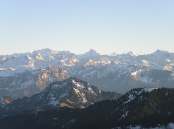
Te voet


• Symbol: weiss-rot-weiss
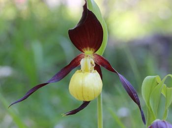
Te voet
• Gribsch - Steinerberg Symbol: gelber Rhombus

Te voet
• Hinder Dossen - Rigi Klösterli Symbol: gelber Rhombus
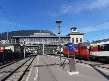
Te voet
• Trail created by Schwyzer Wanderwege. Goldau-Dächli Symbol: gelber Rhombus
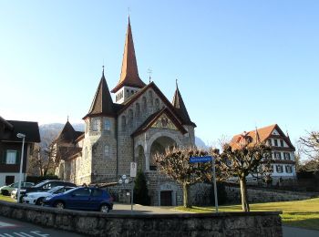
Te voet
• Symbol: weiss-rot-weiss

Mountainbike

Andere activiteiten
•
Andere activiteiten
•
Andere activiteiten

Wintersport
Andere activiteiten
•
11 tochten weergegeven op 11
Gratisgps-wandelapplicatie
 SityTrail
IGN / Geografische instituten
SityTrail World
De wereld gaat voor u open