


6,3 km | 8,1 km-effort
Bezirk Winterthur: Ontdek de beste tochten: 27 te voet. Al deze tochten, trajecten, routes en outdoor activiteiten zijn beschikbaar in onze SityTrail-apps voor smartphones en tablets.
Te voet


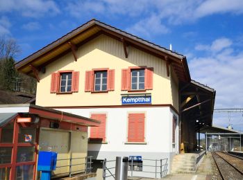
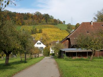
• Etappe Leisental: Sennhof Kemptthal Website: https://www.rundweg.winterthur.ch/index.php?ref=search&refid=3344446...
Te voet
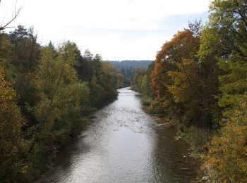
• Trail created by Zürcher Wanderwege ZAW. Symbol: gelbe Raute
Te voet
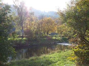
• Trail created by Zürcher Wanderwege ZAW. Symbol: gelbe Raute
Te voet
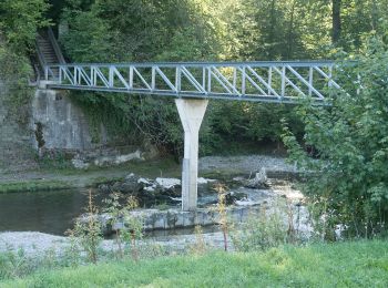
• Trail created by Zürcher Wanderwege ZAW. Symbol: gelbe Raute
Te voet
• Trail created by Wanderland Schweiz. Symbol: Weinrebe zusammen mit schwarzer Schrift Tössegg Klettgau Weg in grünem ...
Te voet
• Trail created by Zürcher Wanderwege ZAW. Symbol: gelbe Raute
Te voet
• Trail created by Zürcher Wanderwege ZAW. Symbol: gelbe Raute
Te voet
• Trail created by Zürcher Wanderwege ZAW. Symbol: gelbe Raute
Te voet
• Trail created by Zürcher Wanderwege ZAW. Symbol: gelbe Raute
Te voet
• Trail created by Zürcher Wanderwege ZAW. Symbol: gelbe Raute
Te voet
• Trail created by Zürcher Wanderwege ZAW. Symbol: gelbe Raute
Te voet
• Trail created by Zürcher Wanderwege ZAW. Symbol: gelbe Raute
Te voet
• Trail created by Zürcher Wanderwege ZAW. Symbol: gelbe Raute
Te voet
• Trail created by Zürcher Wanderwege ZAW. Symbol: gelbe Raute
Te voet
• Trail created by Zürcher Wanderwege ZAW. Symbol: gelbe Raute
Te voet
• Trail created by Zürcher Wanderwege ZAW. Symbol: gelbe Raute
Te voet
• Trail created by Zürcher Wanderwege ZAW. Symbol: gelbe Raute
Te voet
• Trail created by Zürcher Wanderwege ZAW. Symbol: gelbe Raute
Te voet
• Trail created by Zürcher Wanderwege ZAW. Symbol: gelbe Raute
Te voet
• Trail created by Zürcher Wanderwege. Symbol: gelbe Raute
20 tochten weergegeven op 27
Gratisgps-wandelapplicatie
 SityTrail
IGN / Geografische instituten
SityTrail World
De wereld gaat voor u open