


12,7 km | 15,5 km-effort
Uster: Ontdek de beste tochten: 26 te voet. Al deze tochten, trajecten, routes en outdoor activiteiten zijn beschikbaar in onze SityTrail-apps voor smartphones en tablets.
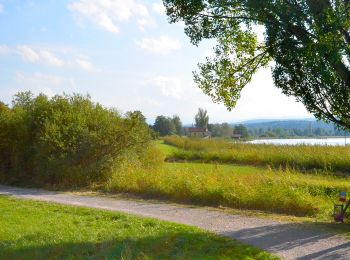
Te voet


• Trail created by Zürcher Wanderwege ZAW. Symbol: gelbe Raute
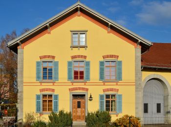
Te voet
• Trail created by Zürcher Wanderwege ZAW. Symbol: gelbe Raute
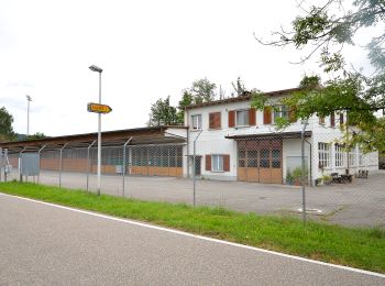
Te voet
• Trail created by Zürcher Wanderwege ZAW. Symbol: gelbe Raute
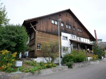
Te voet
• Trail created by Zürcher Wanderwege ZAW. Symbol: gelbe Raute
Te voet
• Trail created by Zürcher Wanderwege ZAW. Symbol: gelbe Raute
Te voet
• Trail created by Zürcher Wanderwege ZAW. Symbol: gelbe Raute
Te voet
• Trail created by Zürcher Wanderwege ZAW. Symbol: gelbe Raute
Te voet
• Trail created by Zürcher Wanderwege ZAW. Symbol: gelbe Raute
Te voet
• Trail created by Zürcher Wanderwege ZAW. Symbol: gelbe Raute

Te voet
• Trail created by Zürcher Wanderwege ZAW. Symbol: gelbe Raute
Te voet
• Trail created by Zürcher Wanderwege ZAW. Symbol: Text Industriepfad Zürcher Oberland zusammen mit Wasserrad in grüne...
Te voet
• Trail created by Zürcher Wanderwege ZAW. Oberuster - Aathal Symbol: gelbe Raute
Te voet
• Trail created by Zürcher Wanderwege ZAW. Symbol: gelbe Raute
Te voet
• Trail created by Zürcher Wanderwege ZAW. Symbol: gelbe Raute

Te voet
• Trail created by ZAW. Symbol: gelbe Raute
Te voet
• Symbol: gelbe Raute

Te voet
• Trail created by Zürcher Wanderwege ZAW. Symbol: gelbe Raute
Te voet
• Trail created by Zürcher Wanderwege. Symbol: gelbe Raute
Te voet
• Trail created by Zürcher Wanderwege ZAW. Symbol: gelbe Raute
Te voet
• Trail created by Zürcher Wanderwege ZAW. Symbol: gelbe Raute
20 tochten weergegeven op 27
Gratisgps-wandelapplicatie
 SityTrail
IGN / Geografische instituten
SityTrail World
De wereld gaat voor u open