


9,9 km | 11,3 km-effort
Canada: Ontdek de 418 beste wandel- en fietstochten. Onze catalogus die helemaal is samengesteld door wandelaars en toerfietsers staat vol prachtige landschappen die erop wachten om verkend te worden. Download deze routes in SityTrail, onze gratis gps wandel-app beschikbaar op Android en iOS.

Stappen


Stappen
Stappen
Stappen
Stappen
Stappen
Stappen
Stappen
Stappen
Stappen
Trail
Te voet
Stappen
Stappen
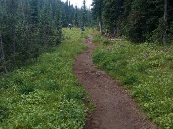
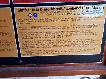
• start from the campground to the ridge . trail #18
Stappen
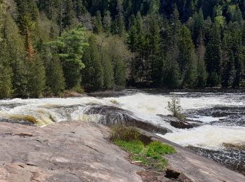
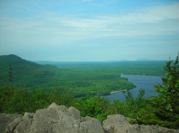
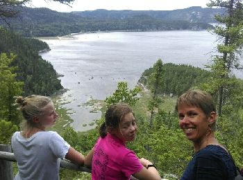
• Anse st Étienne

Stappen
Stappen
Stappen
Stappen
Stappen
20 tochten weergegeven op 418
Gratisgps-wandelapplicatie
 SityTrail
IGN / Geografische instituten
SityTrail World
De wereld gaat voor u open