


13,3 km | 16,4 km-effort
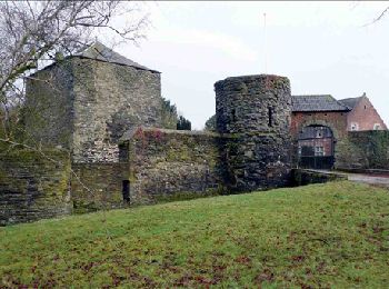
Villers-la-Ville: Ontdek de beste tochten: 170 te voet, 9 met de fiets of mountainbike en 3 te paard. Al deze tochten, trajecten, routes en outdoor activiteiten zijn beschikbaar in onze SityTrail-apps voor smartphones en tablets.
Stappen


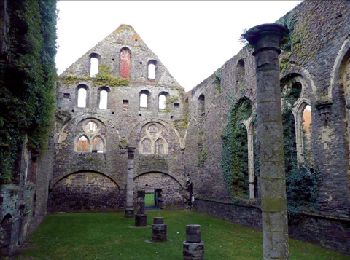
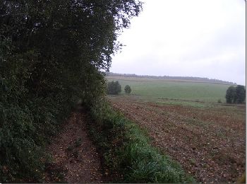
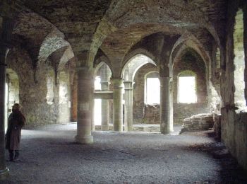
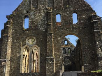
• Villers-la-Ville, Sart-Dames-Avelines, Villers-la-Ville Une balade aux multiples facettes, particulièrement éloignée...

Stappen
• À travers campagnes et forêts, autour des ruines d’une prestigieuse abbaye. Villers-la-Ville – Sart-Dames-Avelines – ...
Stappen
• À travers campagnes et forêts, autour des ruines d’une prestigieuse abbaye. Villers-la-Ville – Sart-Dames-Avelines – ...
Stappen
• Détails de la rando sur le site tracegps.com http://www.tracegps.com/fr/parcours/circuit13190.htm
Stappen
Stappen
Noords wandelen
Stappen

Stappen
• Détails de la rando sur TraceGPS.com http://www.tracegps.com/fr/parcours/circuit1800.htm
Stappen
Mountainbike
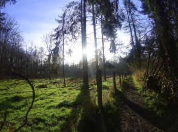
Te voet
• Trail created by Syndicat d'initiative et de Tourisme de Villers-la-Ville ASBL.
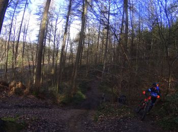
Mountainbike
Mountainbike
Stappen
Mountainbike
Stappen
Stappen
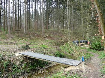
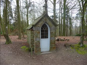
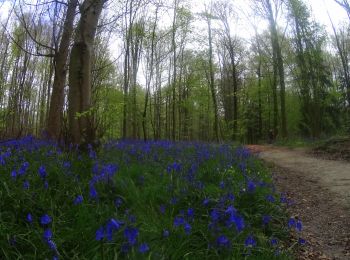
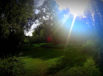
• Très agréable balade forestière à Villers-la-Ville. Départ: chapelle ND des Affligés
Stappen
• ___www.marcheursdumardi.be___
Stappen
• Une grande boucle forestière autour de l'Abbaye. ___www.marcheursdumardi.be___
20 tochten weergegeven op 190
Gratisgps-wandelapplicatie
 SityTrail
IGN / Geografische instituten
SityTrail World
De wereld gaat voor u open