


4,1 km | 5,3 km-effort
Autelbas: Ontdek de beste tochten: 30 te voet en 2 met de fiets of mountainbike. Al deze tochten, trajecten, routes en outdoor activiteiten zijn beschikbaar in onze SityTrail-apps voor smartphones en tablets.
Stappen


Stappen
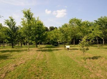
Te voet
• Trail created by Maison du Tourisme du Pays d'Arlon.
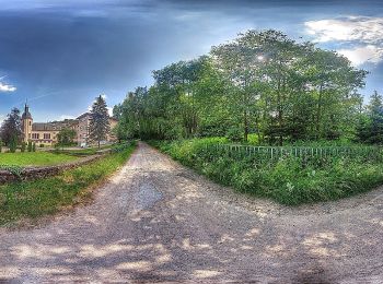
Te voet
• Trail created by Maison du Tourisme du Pays d'Arlon.
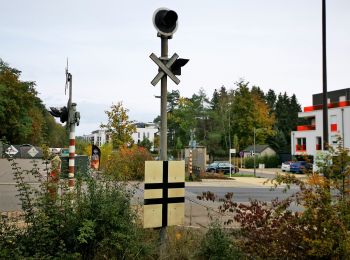
Te voet

Te voet
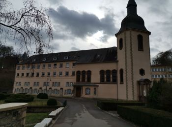
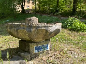
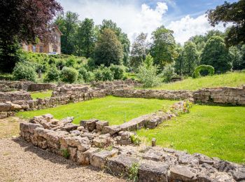
• Trail created by Pays d'Arlon. Er zijn 3 wandelingen mogelijk rond de site van Clairefontaine. Deze wandeling...
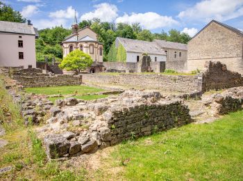
Te voet
• Trail created by Pays d'Arlon. Er zijn 3 wandelingen mogelijk rond de site van Clairefontaine. Deze wandeling...
Stappen
Stappen
Stappen
Te voet
• Trail created by Pays d'Arlon. Er zijn 3 wandelingen mogelijk rond de site van Clairefontaine. Aan het begin ...
Stappen
Stappen
Stappen
Stappen
Stappen
Stappen
Stappen
• club vosgien longuyon

Noords wandelen
Noords wandelen
20 tochten weergegeven op 33
Gratisgps-wandelapplicatie
 SityTrail
IGN / Geografische instituten
SityTrail World
De wereld gaat voor u open