


13,3 km | 15,6 km-effort
Baelen: Ontdek de beste tochten: 232 te voet, 54 met de fiets of mountainbike en 3 te paard. Al deze tochten, trajecten, routes en outdoor activiteiten zijn beschikbaar in onze SityTrail-apps voor smartphones en tablets.

Stappen


Stappen
Stappen

Stappen
Stappen
Stappen
Stappen
Stappen
Stappen
Stappen
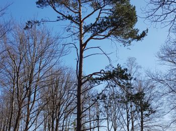
Te voet
• Trail created by DNF.
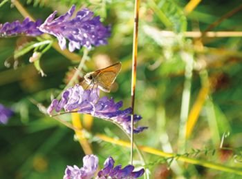
Te voet
• Trail created by DNF. Symbol: Losange rouge - red diamond
Te voet
• Trail created by DNF. Symbol: Rectangle rouge - red rectangle
Te voet
• Trail created by DNF. Symbol: gelbe Raute - yellow diamond
Te voet
• Trail created by DNF. Symbol: grünes Kreuz green Cross
Te voet
• Symbol: green rectangle
Stappen
Stappen
Stappen
Stappen
20 tochten weergegeven op 301
Gratisgps-wandelapplicatie
 SityTrail
IGN / Geografische instituten
SityTrail World
De wereld gaat voor u open