![](/images/other/stat-length.png)
- Tochten
- Outdoor
- Austria
- Tirol
- Bezirk Kufstein
- Gemeinde Erl
Gemeinde Erl, Bezirk Kufstein: Top van de beste wandelroutes, trajecten, tochten en wandelingen
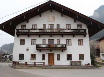
Gemeinde Erl: Ontdek de beste tochten: 5 te voet. Al deze tochten, trajecten, routes en outdoor activiteiten zijn beschikbaar in onze SityTrail-apps voor smartphones en tablets.
De beste trajecten (5)
![Tocht Te voet Gemeinde Erl - Euregio Marien-Wege - Photo](https://media.geolcdn.com/t/350/260/797c713e-12d0-48f6-8c0e-6e9af5a814a9.jpeg&format=jpg&maxdim=2)
![Te voet Te voet](https://static1.geolcdn.com/sitytour/trail-icons/100.png)
Km
Te voet
![](/images/other/stat-length.png)
![](https://static1.geolcdn.com/siteimages/upload/files/1508320355ic_sort_den_pos_24dp.png)
![](https://static1.geolcdn.com/siteimages/upload/files/1508320355ic_sort_den_neg_24dp.png)
![](https://static1.geolcdn.com/siteimages/upload/files/16400158638029165_repeat_loop_refresh_sync_direction_icon.png)
• Symbol: Weiße Rechtecke mit Farbpunkten und der Aufschrift "EUREGIO Marien-Wege"
![Tocht Te voet Gemeinde Erl - Schönau-Runde - Photo](https://media.geolcdn.com/t/350/260/b1f09388-96e0-4eca-92f2-e261f74a2a6c.jpeg&format=jpg&maxdim=2)
![Te voet Te voet](https://static1.geolcdn.com/sitytour/trail-icons/100.png)
Km
Te voet
![](/images/other/stat-length.png)
![](https://static1.geolcdn.com/siteimages/upload/files/1508320355ic_sort_den_pos_24dp.png)
![](https://static1.geolcdn.com/siteimages/upload/files/1508320355ic_sort_den_neg_24dp.png)
![](https://static1.geolcdn.com/siteimages/upload/files/16400158638029165_repeat_loop_refresh_sync_direction_icon.png)
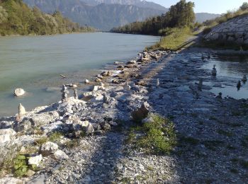
• Trail created by Kufsteinerland. Symbol: Weiße Schilder mit Richtungspfeil und grünem Streifen mit dem Namen "Schöna...
![Tocht Te voet Gemeinde Erl - Weidau-Runde - Photo](https://media.geolcdn.com/t/350/260/8ecaf8ec-7ce0-4d74-b523-83156d484c9f.jpeg&format=jpg&maxdim=2)
![Te voet Te voet](https://static1.geolcdn.com/sitytour/trail-icons/100.png)
Km
Te voet
![](/images/other/stat-length.png)
![](https://static1.geolcdn.com/siteimages/upload/files/1508320355ic_sort_den_pos_24dp.png)
![](https://static1.geolcdn.com/siteimages/upload/files/1508320355ic_sort_den_neg_24dp.png)
![](https://static1.geolcdn.com/siteimages/upload/files/16400158638029165_repeat_loop_refresh_sync_direction_icon.png)
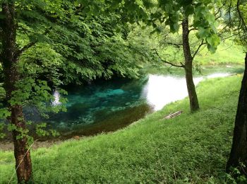
• Trail created by Kufsteinerland. Symbol: Weiße Schilder mit Richtungspfeil und pinkem Streifen mit dem Namen "Weidau...
![Tocht Te voet Gemeinde Erl - Dorf-Runde - Photo](https://media.geolcdn.com/t/350/260/44387dbd-2b6b-460b-8631-eded4687f55a.jpeg&format=jpg&maxdim=2)
![Te voet Te voet](https://static1.geolcdn.com/sitytour/trail-icons/100.png)
Km
Te voet
![](/images/other/stat-length.png)
![](https://static1.geolcdn.com/siteimages/upload/files/1508320355ic_sort_den_pos_24dp.png)
![](https://static1.geolcdn.com/siteimages/upload/files/1508320355ic_sort_den_neg_24dp.png)
![](https://static1.geolcdn.com/siteimages/upload/files/16400158638029165_repeat_loop_refresh_sync_direction_icon.png)
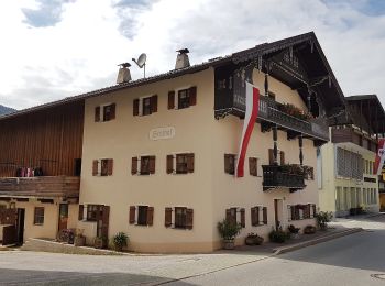
• Trail created by Kufsteinerland. Symbol: Weiße Schilder mit Richtungspfeil und dunkelgrauem Streifen mit dem Namen "...
![Tocht Te voet Gemeinde Erl - Scheiben-Runde - Photo](https://media.geolcdn.com/t/350/260/56087dc7-ffa6-4102-a9bb-c8ee2599a932.jpeg&format=jpg&maxdim=2)
![Te voet Te voet](https://static1.geolcdn.com/sitytour/trail-icons/100.png)
Km
Te voet
![](/images/other/stat-length.png)
![](https://static1.geolcdn.com/siteimages/upload/files/1508320355ic_sort_den_pos_24dp.png)
![](https://static1.geolcdn.com/siteimages/upload/files/1508320355ic_sort_den_neg_24dp.png)
![](https://static1.geolcdn.com/siteimages/upload/files/16400158638029165_repeat_loop_refresh_sync_direction_icon.png)
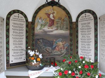
• Trail created by Kufsteinerland. Symbol: Weiße Schilder mit Richtungspfeil und rotem Streifen mit dem Namen "Scheibe...
5 tochten weergegeven op 5
Gratisgps-wandelapplicatie