


10,4 km | 18,9 km-effort
Gemeinde Kirchberg in Tirol: Ontdek de beste tochten: 10 te voet en 2 met de fiets of mountainbike. Al deze tochten, trajecten, routes en outdoor activiteiten zijn beschikbaar in onze SityTrail-apps voor smartphones en tablets.
Trail


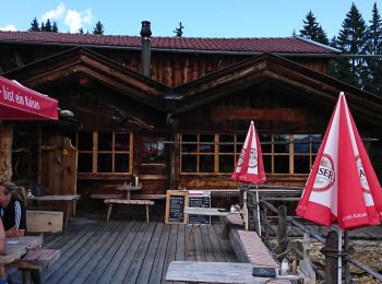
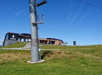
• neem de zetel lift naar boven en start de trail.
Trail

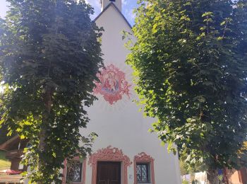
Stappen
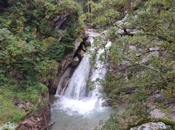
Stappen
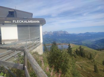
• Neem de Fleckalm lift naar boven en volg de route naar Pengelstein
Mountainbike
Mountainbike
Stappen

Stappen
• More information on GPStracks.nl : http://www.gpstracks.nl
Stappen
• More information on GPStracks.nl : http://www.gpstracks.nl
Stappen
• More information on GPStracks.nl : http://www.gpstracks.nl
Stappen
Stappen
12 tochten weergegeven op 12
Gratisgps-wandelapplicatie
 SityTrail
IGN / Geografische instituten
SityTrail World
De wereld gaat voor u open