


7,2 km | 13,2 km-effort
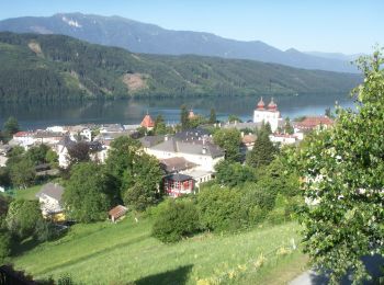
Bezirk Spittal an der Drau: Ontdek de beste tochten: 51 te voet en 7 met de fiets of mountainbike. Al deze tochten, trajecten, routes en outdoor activiteiten zijn beschikbaar in onze SityTrail-apps voor smartphones en tablets.
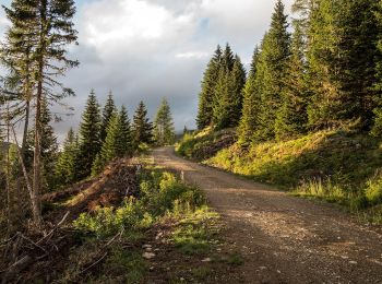
Te voet


• Symbol: Enzian engraved on wood
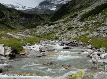
Te voet
• Trail created by Nationalpark Hohe Tauern.
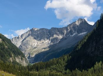
Te voet
• Trail created by Nationalpark Hohe Tauern.
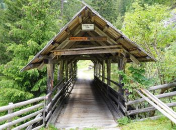
Te voet
• Trail created by Nationalpark Hohe Tauern.
Te voet
• Trail created by Nationalpark Hohe Tauern.
Te voet
• Trail created by Nationalpark Hohe Tauern.
Te voet
• Trail created by Nationalpark Hohe Tauern.

Te voet
• Trail created by Nationalpark Hohe Tauern.
Te voet
• Trail created by Nationalpark Hohe Tauern.
Te voet
• Trail created by Nationalpark Hohe Tauern.
Te voet
Te voet
Te voet
Te voet
Te voet

Te voet
Te voet
Te voet
Te voet
Te voet
20 tochten weergegeven op 58
Gratisgps-wandelapplicatie
 SityTrail
IGN / Geografische instituten
SityTrail World
De wereld gaat voor u open