![](/images/other/stat-length.png)
Sattledt, Bezirk Wels-Land: Top van de beste wandelroutes, trajecten, tochten en wandelingen
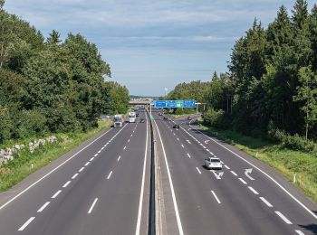
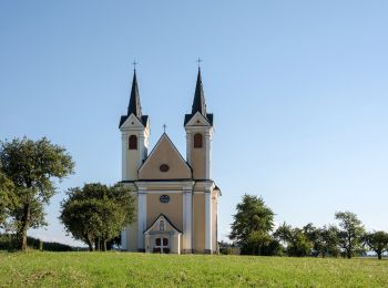
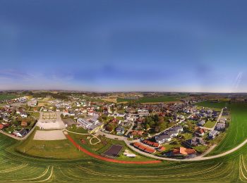
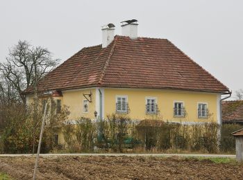
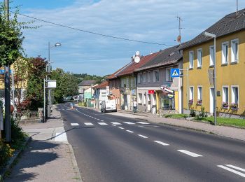
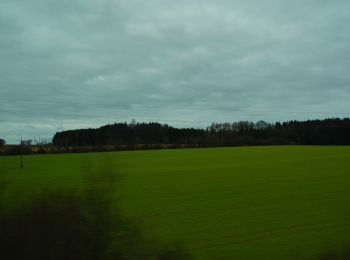
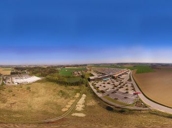
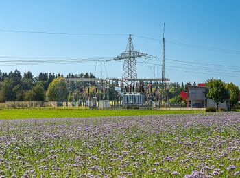
Sattledt: Ontdek de beste tochten: 8 te voet. Al deze tochten, trajecten, routes en outdoor activiteiten zijn beschikbaar in onze SityTrail-apps voor smartphones en tablets.
De beste trajecten (8)
![Tocht Te voet Sattledt - Wirte-Runde - Photo](https://media.geolcdn.com/t/350/260/e2c1e13a-1757-4c82-9895-1f0029bb41cc.jpeg&format=jpg&maxdim=2)
![Te voet Te voet](https://static1.geolcdn.com/sitytour/trail-icons/100.png)
Km
Te voet
![](/images/other/stat-length.png)
![](https://static1.geolcdn.com/siteimages/upload/files/1508320355ic_sort_den_pos_24dp.png)
![](https://static1.geolcdn.com/siteimages/upload/files/1508320355ic_sort_den_neg_24dp.png)
![](https://static1.geolcdn.com/siteimages/upload/files/16400158638029165_repeat_loop_refresh_sync_direction_icon.png)
• Trail created by Marktgemeinde Sattledt. Symbol: violetter Pfeil
![Tocht Te voet Sattledt - Sauguat-Runde - Photo](https://media.geolcdn.com/t/350/260/c93db068-0873-4e37-b118-33113da456bf.jpeg&format=jpg&maxdim=2)
![Te voet Te voet](https://static1.geolcdn.com/sitytour/trail-icons/100.png)
Km
Te voet
![](/images/other/stat-length.png)
![](https://static1.geolcdn.com/siteimages/upload/files/1508320355ic_sort_den_pos_24dp.png)
![](https://static1.geolcdn.com/siteimages/upload/files/1508320355ic_sort_den_neg_24dp.png)
![](https://static1.geolcdn.com/siteimages/upload/files/16400158638029165_repeat_loop_refresh_sync_direction_icon.png)
• Trail created by Marktgemeinde Sattledt. Symbol: oranger Pfeil
![Tocht Te voet Sattledt - Hofer-Runde - Photo](https://media.geolcdn.com/t/350/260/abe3433f-5ddf-419f-864f-e549e1c07efc.jpeg&format=jpg&maxdim=2)
![Te voet Te voet](https://static1.geolcdn.com/sitytour/trail-icons/100.png)
Km
Te voet
![](/images/other/stat-length.png)
![](https://static1.geolcdn.com/siteimages/upload/files/1508320355ic_sort_den_pos_24dp.png)
![](https://static1.geolcdn.com/siteimages/upload/files/1508320355ic_sort_den_neg_24dp.png)
![](https://static1.geolcdn.com/siteimages/upload/files/16400158638029165_repeat_loop_refresh_sync_direction_icon.png)
• Trail created by Marktgemeinde Sattledt. Symbol: grüner Pfeil
![Tocht Te voet Sattledt - Bamminger-Runde - Photo](https://media.geolcdn.com/t/350/260/e7eee55a-e6ba-4268-8322-c9e4ece17879.jpeg&format=jpg&maxdim=2)
![Te voet Te voet](https://static1.geolcdn.com/sitytour/trail-icons/100.png)
Km
Te voet
![](/images/other/stat-length.png)
![](https://static1.geolcdn.com/siteimages/upload/files/1508320355ic_sort_den_pos_24dp.png)
![](https://static1.geolcdn.com/siteimages/upload/files/1508320355ic_sort_den_neg_24dp.png)
![](https://static1.geolcdn.com/siteimages/upload/files/16400158638029165_repeat_loop_refresh_sync_direction_icon.png)
• Trail created by Marktgemeinde Sattledt. Symbol: blauer Pfeil
![Tocht Te voet Sattledt - XXXLutz-Runde - Photo](https://media.geolcdn.com/t/350/260/4aba56c2-62fb-4942-a8da-272bf8574897.jpeg&format=jpg&maxdim=2)
![Te voet Te voet](https://static1.geolcdn.com/sitytour/trail-icons/100.png)
Km
Te voet
![](/images/other/stat-length.png)
![](https://static1.geolcdn.com/siteimages/upload/files/1508320355ic_sort_den_pos_24dp.png)
![](https://static1.geolcdn.com/siteimages/upload/files/1508320355ic_sort_den_neg_24dp.png)
![](https://static1.geolcdn.com/siteimages/upload/files/16400158638029165_repeat_loop_refresh_sync_direction_icon.png)
• Trail created by Marktgemeinde Sattledt. Symbol: roter Pfeil
![Tocht Te voet Sattledt - Raiffeisen-Runde - Photo](https://media.geolcdn.com/t/350/260/ebe6b788-6a41-41ba-bd2c-a2f9e5582cd8.jpeg&format=jpg&maxdim=2)
![Te voet Te voet](https://static1.geolcdn.com/sitytour/trail-icons/100.png)
Km
Te voet
![](/images/other/stat-length.png)
![](https://static1.geolcdn.com/siteimages/upload/files/1508320355ic_sort_den_pos_24dp.png)
![](https://static1.geolcdn.com/siteimages/upload/files/1508320355ic_sort_den_neg_24dp.png)
![](https://static1.geolcdn.com/siteimages/upload/files/16400158638029165_repeat_loop_refresh_sync_direction_icon.png)
• Trail created by Marktgemeinde Sattledt. Symbol: türkiser Pfeil
![Tocht Te voet Sattledt - Strasser's Wanderfreude - Photo](https://media.geolcdn.com/t/350/260/8f993e43-1493-4b33-856b-a0ed054c4bdf.jpeg&format=jpg&maxdim=2)
![Te voet Te voet](https://static1.geolcdn.com/sitytour/trail-icons/100.png)
Km
Te voet
![](/images/other/stat-length.png)
![](https://static1.geolcdn.com/siteimages/upload/files/1508320355ic_sort_den_pos_24dp.png)
![](https://static1.geolcdn.com/siteimages/upload/files/1508320355ic_sort_den_neg_24dp.png)
![](https://static1.geolcdn.com/siteimages/upload/files/16400158638029165_repeat_loop_refresh_sync_direction_icon.png)
• Trail created by Marktgemeinde Sattledt. Symbol: brauner Pfeil
![Tocht Te voet Sattledt - JMI-Runde - Photo](https://media.geolcdn.com/t/350/260/b66938f9-94d9-45d4-9184-07c1891475bc.jpeg&format=jpg&maxdim=2)
![Te voet Te voet](https://static1.geolcdn.com/sitytour/trail-icons/100.png)
Km
Te voet
![](/images/other/stat-length.png)
![](https://static1.geolcdn.com/siteimages/upload/files/1508320355ic_sort_den_pos_24dp.png)
![](https://static1.geolcdn.com/siteimages/upload/files/1508320355ic_sort_den_neg_24dp.png)
![](https://static1.geolcdn.com/siteimages/upload/files/16400158638029165_repeat_loop_refresh_sync_direction_icon.png)
• Trail created by Marktgemeinde Sattledt. Symbol: olivgrüner Pfeil
8 tochten weergegeven op 8
Gratisgps-wandelapplicatie