


4,8 km | 6,8 km-effort
Wilhering: Ontdek de beste tochten: 5 te voet. Al deze tochten, trajecten, routes en outdoor activiteiten zijn beschikbaar in onze SityTrail-apps voor smartphones en tablets.

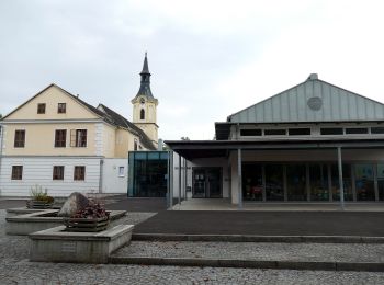
Te voet


• Symbol: Edelstahlplatte mit gelber Beschriftung der nächsten Ziele, Wanderer und kleine Pfeile
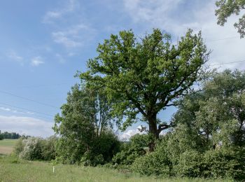
Te voet
• Symbol: Edelstahlplatte mit gelber Beschriftung der nächsten Ziele, Wanderer und kleine Pfeile
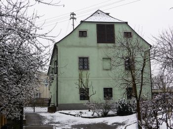
Te voet
• Symbol: Edelstahlplatte mit gelber Beschriftung der nächsten Ziele, Wanderer und Kleine Pfeile
Te voet
• Symbol: Edelstahlplatte mit gelber Beschriftung der nächsten Ziele, Wanderer und Kleine Pfeile
Te voet
• Symbol: Edelstahlplatte mit gelber Beschriftung der nächsten Ziele, Wanderer und Kleine Pfeile
5 tochten weergegeven op 5
Gratisgps-wandelapplicatie
 SityTrail
IGN / Geografische instituten
SityTrail World
De wereld gaat voor u open