


10,6 km | 15,4 km-effort
Windhaag bei Perg: Ontdek de beste tochten: 5 te voet. Al deze tochten, trajecten, routes en outdoor activiteiten zijn beschikbaar in onze SityTrail-apps voor smartphones en tablets.
Te voet


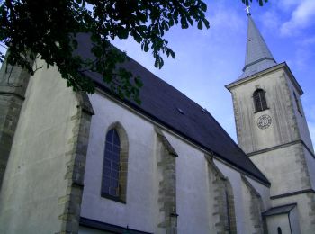
• Symbol: gelber Hinweispfeil mit dem Text "6 Falkensteiweg"
Te voet
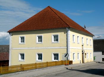
• Trail created by Gemeinde Windhaag bei Perg.
Te voet
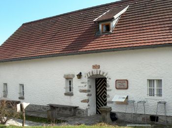
• Trail created by Gemeinde Windhaag bei Perg.
Te voet
• Trail created by Gemeinde Windhaag bei Perg.
Te voet
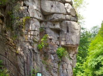
• Symbol: gelber Buchstabe N auf schwarzem Kreis auf gelbem Grund, daneben manchmal die Bezeichnung Naarntalweg
5 tochten weergegeven op 5
Gratisgps-wandelapplicatie
 SityTrail
IGN / Geografische instituten
SityTrail World
De wereld gaat voor u open