


3,5 km | 4,4 km-effort
Dechantskirchen: Ontdek de beste tochten: 10 te voet. Al deze tochten, trajecten, routes en outdoor activiteiten zijn beschikbaar in onze SityTrail-apps voor smartphones en tablets.
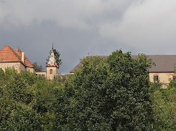
Te voet


• Trail created by Gemeinde Dechantskirchen. Symbol: weiß-braun
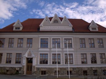
Te voet
• Trail created by Gemeinde Dechantskirchen. Symbol: weiß-braun
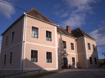
Te voet
• Trail created by Gemeinde Dechantskirchen. Symbol: weiß-braun
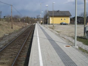
Te voet
• Trail created by Gemeinde Dechantskirchen. Symbol: weiß-braun
Te voet
• Trail created by Gemeinde Dechantskirchen. Symbol: weiß-braun
Te voet
• Trail created by Gemeinde Dechantskirchen. Symbol: weiß-braun
Te voet
• Trail created by Gemeinde Dechantskirchen. Symbol: weiß-braun
Te voet
• Trail created by ÖAV, Sektion Hartberg. Symbol: rot-weiss-rot:30
Te voet
• Trail created by ÖAV, Sektion Hartberg. Symbol: rot-weiss-rot:25

Te voet
10 tochten weergegeven op 10
Gratisgps-wandelapplicatie
 SityTrail
IGN / Geografische instituten
SityTrail World
De wereld gaat voor u open