


3,8 km | 6,1 km-effort
Birkfeld: Ontdek de beste tochten: 7 te voet. Al deze tochten, trajecten, routes en outdoor activiteiten zijn beschikbaar in onze SityTrail-apps voor smartphones en tablets.
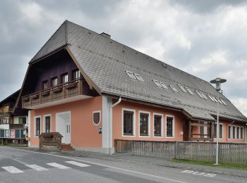
Te voet


• Trail created by ?. Symbol: rot-grün-rot, Schilder
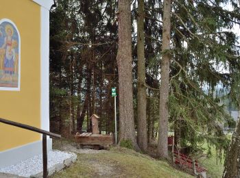
Te voet
• Trail created by ?. Symbol: rot-grün-rot, Schilder
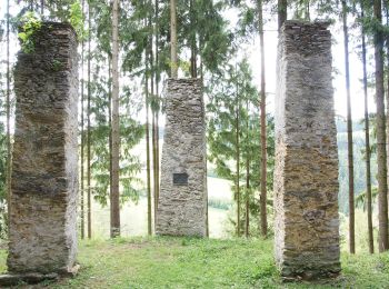
Te voet
• http://wiki.openstreetmap.org/wiki/WikiProject_Austria/Wanderwege Symbol: Gelbe Punkte, Schilder Wanderweg 10
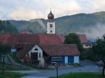
Te voet
• Trail created by Almenland. http://www.obi-hansl-huette.at/wegbeschreibungen/wanderungen/Wegbeschreibung-Almenland-G...
Te voet
• http://wiki.openstreetmap.org/wiki/WikiProject_Austria/Wanderwege Symbol: rot-weiss-rot 64

Te voet
• Trail created by Almenland. http://www.almenland.net/download/Koenigskogel.pdf Symbol: rot-weiss-rot 25
Te voet
• Trail created by Almenland. http://www.almenland.net/download/Schusterklammsteig.pdf Symbol: rot-weiss-rot 20
7 tochten weergegeven op 7
Gratisgps-wandelapplicatie
 SityTrail
IGN / Geografische instituten
SityTrail World
De wereld gaat voor u open