


10,2 km | 15,9 km-effort
Graz: Ontdek de beste tochten: 16 te voet. Al deze tochten, trajecten, routes en outdoor activiteiten zijn beschikbaar in onze SityTrail-apps voor smartphones en tablets.
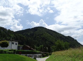
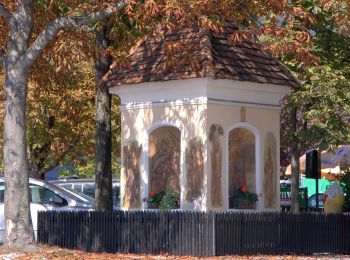
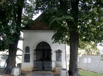
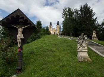
Te voet


• Trail created by ÖAV Graz. http://wiki.openstreetmap.org/wiki/WikiProject_Austria/Wanderwege Symbol: rot-weiss-rot 6
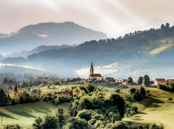
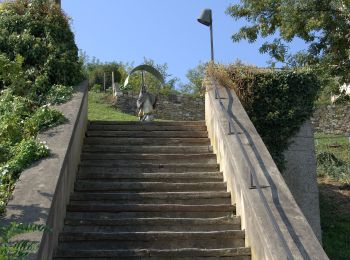
Te voet
• Trail created by ÖAV Sektion Graz. Symbol: rot-weiss-rot 6
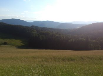
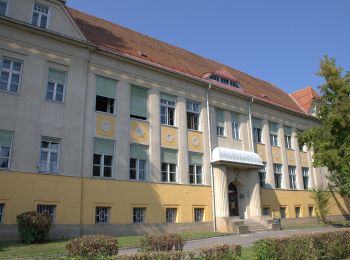
Te voet
• Trail created by ÖAV Graz. http://wiki.openstreetmap.org/wiki/WikiProject_Austria/Wanderwege Symbol: rot-weiss-rot 5
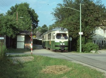
Te voet
• Trail created by ÖTK Graz. http://wiki.openstreetmap.org/wiki/WikiProject_Austria/Wanderwege Symbol: rot-weiss-rot 31
Te voet
• Trail created by ÖAV Graz. http://wiki.openstreetmap.org/wiki/WikiProject_Austria/Wanderwege Symbol: rot-weiss-rot ...
Te voet
• Trail created by ÖAV Graz. http://wiki.openstreetmap.org/wiki/WikiProject_Austria/Wanderwege Symbol: rot-weiss-rot 5

Te voet
• Trail created by ÖAV Graz. http://wiki.openstreetmap.org/wiki/WikiProject_Austria/Wanderwege Symbol: rot-weiss-.rot 4
Te voet
• Trail created by ÖAV Graz. http://wiki.openstreetmap.org/wiki/WikiProject_Austria/Wanderwege Symbol: rot-weiss-rot 10
Te voet
• Trail created by ÖAV Sektion Graz. http://wiki.openstreetmap.org/wiki/WikiProject_Austria/Wanderwege Symbol: rot-we...
Te voet
• Trail created by ÖAV Sektion Graz. http://wiki.openstreetmap.org/wiki/WikiProject_Austria/Wanderwege Symbol: rot-we...
Te voet
• Trail created by ÖAV Sektion Graz. http://wiki.openstreetmap.org/wiki/WikiProject_Austria/Wanderwege Symbol: rot-we...
Te voet
• Trail created by ÖAV Sektion Graz. http://wiki.openstreetmap.org/wiki/WikiProject_Austria/Wanderwege Symbol: rot-we...
Te voet
• Trail created by ÖAV Sektion Graz. http://wiki.openstreetmap.org/wiki/WikiProject_Austria/Wanderwege Symbol: rot-we...
Te voet
• Trail created by Österreichischer Alpenverein, Sektion Graz. http://wiki.openstreetmap.org/wiki/WikiProject_Austria/...
Te voet
• http://wiki.openstreetmap.org/wiki/WikiProject_Austria/Wanderwege Symbol: rot-weiss-rot mit schwarzer Zahl 2 im weis...
Te voet
• Trail created by Steirischer Alpenverein, Sektion Graz. http://wiki.openstreetmap.org/wiki/WikiProject_Austria/Wande...
16 tochten weergegeven op 16
Gratisgps-wandelapplicatie
 SityTrail
IGN / Geografische instituten
SityTrail World
De wereld gaat voor u open