


3,7 km | 4,2 km-effort
Gemeinde Pfaffstätten: Ontdek de beste tochten: 8 te voet. Al deze tochten, trajecten, routes en outdoor activiteiten zijn beschikbaar in onze SityTrail-apps voor smartphones en tablets.
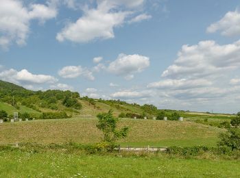
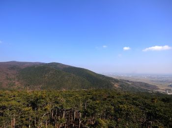
Te voet


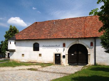
• Trail created by Fremdenverkehrsverein Pfaffstätten. Symbol: rotes Schild, schwarzer Pfeil, Zierfandlerweg
Te voet
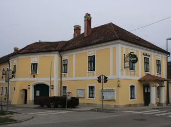
• Trail created by Fremdenverkehrsverein Pfaffstätten. Symbol: gelbes Schild, blauer Pfeil, Neuburgerweg
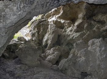
Te voet
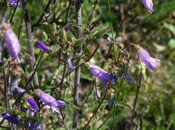
• Trail created by Fremdenverkehrsverein Pfaffstätten.
Te voet
• Trail created by Fremdenverkehrsverein Pfaffstätten. Symbol: grünes Schild, blauer Pfeil, Föhrenweg
Te voet
• Trail created by Fremdenverkehrsverein Pfaffstätten. Symbol: graues Schild, gelber Pfeil mit Namen Einödweg
Te voet
• Trail created by Fremdenverkehrsverein Pfaffstätten. Symbol: blaues Schild, gelber Pfeil, Blauer Portugieserweg
Te voet
Te voet
8 tochten weergegeven op 8
Gratisgps-wandelapplicatie
 SityTrail
IGN / Geografische instituten
SityTrail World
De wereld gaat voor u open