


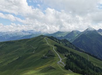
8,8 km | 23 km-effort
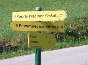
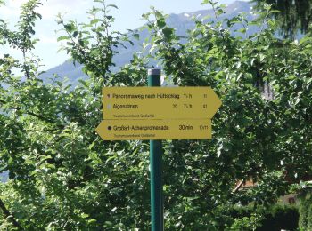
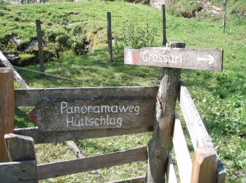
Großarl: Ontdek de beste tochten: 32 te voet. Al deze tochten, trajecten, routes en outdoor activiteiten zijn beschikbaar in onze SityTrail-apps voor smartphones en tablets.
Te voet


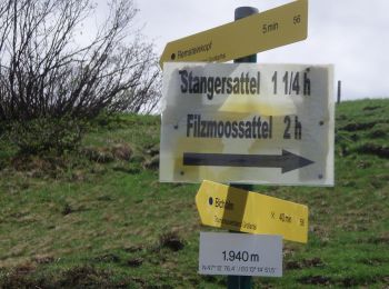
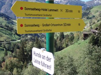
• Trail created by TVB Großarl. Symbol: rot-weiss-rot 42
Te voet
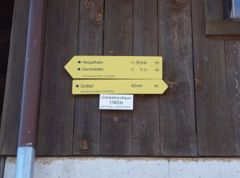
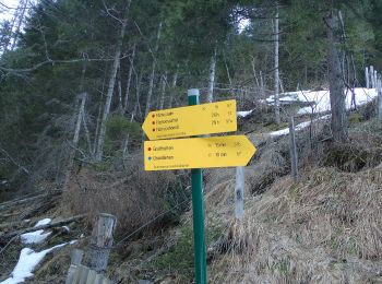
• Trail created by TVB Großarl. Symbol: rot-weiss-rot 41
Te voet
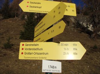
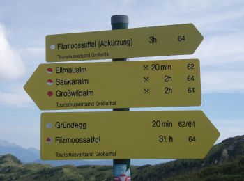
• Trail created by TVB Großarl. http://wiki.openstreetmap.org/wiki/WikiProject_Austria/Wanderwege Symbol: Chapell
Te voet
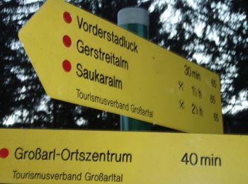
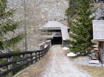
• Trail created by TVB Großarl. http://wiki.openstreetmap.org/wiki/WikiProject_Austria/Wanderwege Symbol: rot-weiss-r...
Te voet
• Trail created by TVB Großarl. http://wiki.openstreetmap.org/wiki/WikiProject_Austria/Wanderwege Symbol: rot-weiss-r...
Te voet
• Trail created by TVB Großarltal. http://wiki.openstreetmap.org/wiki/WikiProject_Austria/Wanderwege Symbol: rot-weis...
Te voet
• Trail created by TVB Großarltal. http://wiki.openstreetmap.org/wiki/WikiProject_Austria/Wanderwege Symbol: rot-weis...
Te voet
• Trail created by TVB Großarltal. http://wiki.openstreetmap.org/wiki/WikiProject_Austria/Wanderwege Symbol: rot-weis...
Te voet
• Trail created by TVB Großarltal. http://wiki.openstreetmap.org/wiki/WikiProject_Austria/Wanderwege Symbol: rot-weis...
Te voet
• Trail created by TVB Großarl. http://wiki.openstreetmap.org/wiki/WikiProject_Austria/Wanderwege Symbol: rot-weiss-r...
Te voet
• Trail created by TVB Großarltal. http://wiki.openstreetmap.org/wiki/WikiProject_Austria/Wanderwege Symbol: rot-weis...
Te voet
• Trail created by TVB Großarltal. http://wiki.openstreetmap.org/wiki/WikiProject_Austria/Wanderwege Symbol: rot-weis...
Te voet
• Trail created by TVB Großarl. http://wiki.openstreetmap.org/wiki/WikiProject_Austria/Wanderwege Symbol: rot-weiss-r...
Te voet
• Trail created by TVB Großarl. Symbol: rot-weiss-rot 67c
Te voet
• Trail created by TVB Großarl. http://wiki.openstreetmap.org/wiki/WikiProject_Austria/Wanderwege Symbol: rot-weiss-r...
Te voet
• Trail created by TVB Großarl. http://wiki.openstreetmap.org/wiki/WikiProject_Austria/Wanderwege Symbol: rot-weiss-r...
Te voet
• Trail created by TVB Großarltal. http://wiki.openstreetmap.org/wiki/WikiProject_Austria/Wanderwege Symbol: rot-weis...
Te voet
• Trail created by TVB Großarl. http://wiki.openstreetmap.org/wiki/WikiProject_Austria/Wanderwege Symbol: rot-weiss-r...
Te voet
• Trail created by TVB Großarl. http://wiki.openstreetmap.org/wiki/WikiProject_Austria/Wanderwege Symbol: rot-weiss-r...
Te voet
• Trail created by TVB Großarl. Symbol: rot-weiss-rot 73
20 tochten weergegeven op 33
Gratisgps-wandelapplicatie
 SityTrail
IGN / Geografische instituten
SityTrail World
De wereld gaat voor u open