


6,4 km | 8,7 km-effort
Formiguères: Ontdek de beste tochten: 4 wintersport, 2 langlaufen, 4 ski randonnée en 17 sneeuwschoenen. Al deze tochten, trajecten, routes en outdoor activiteiten zijn beschikbaar in onze SityTrail-apps voor smartphones en tablets.
Sneeuwschoenen


Wintersport
Sneeuwschoenen
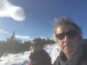
• Prendre le télésiège à la station de Formiguères avant 9h du matin. magnifique parcours Retour en raquettes jusqu 'a...

Sneeuwschoenen
Sneeuwschoenen
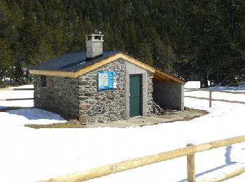
• Montée assez douce dans la forêt avec de belles vues. Longue descente vers le joli refuge de la Lladura. Retour par l...

Sneeuwschoenen
Ski randonnée
Sneeuwschoenen

Ski randonnée
• ski randonnée
Sneeuwschoenen
Sneeuwschoenen
Sneeuwschoenen
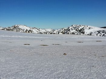
• Excussió pel vols de Formiguera (Capcir) fins l'estany de Vallcera i retorn per la Jaça de Ganyades.
Sneeuwschoenen
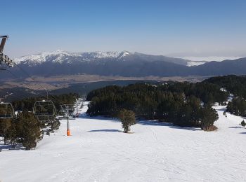
• Ruta circular que comienza y acaba en el parking de la estación de esquí de Formigueres. Bastante agradable, excepto ...
Sneeuwschoenen
• Ruta circular que comienza y acaba en el parking de la estación de esquí de Formigueres. Bastante agradable, excepto ...
Sneeuwschoenen
• Llacs de Camporelles
Sneeuwschoenen
• Llacs de Camporelles
Sneeuwschoenen
• Excursion relativamente tranquila para ir desde Formigueres a Espousouille y a Fontrabiouse, subiendo y bajando las 2...
Langlaufen
Langlaufen
Ski randonnée
20 tochten weergegeven op 27
Gratisgps-wandelapplicatie
 SityTrail
IGN / Geografische instituten
SityTrail World
De wereld gaat voor u open