


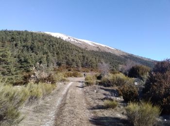
8,8 km | 21 km-effort
Alpes-de-Haute-Provence: Ontdek de beste tochten: 2 alpineskiën, 1 langlaufen, 58 ski randonnée en 113 sneeuwschoenen. Al deze tochten, trajecten, routes en outdoor activiteiten zijn beschikbaar in onze SityTrail-apps voor smartphones en tablets.
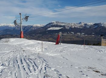
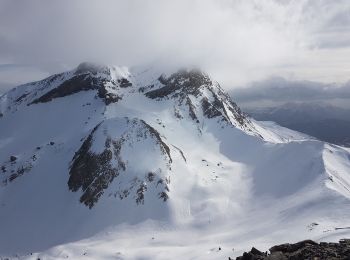
Ski randonnée


Ski randonnée
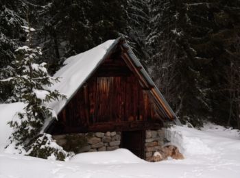
Sneeuwschoenen
Sneeuwschoenen
Ski randonnée
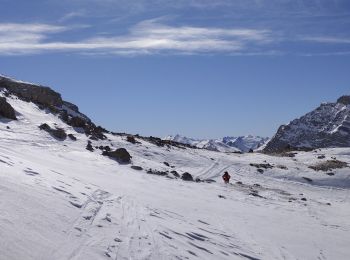
Ski randonnée
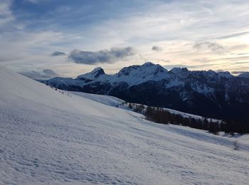
Ski randonnée
Ski randonnée
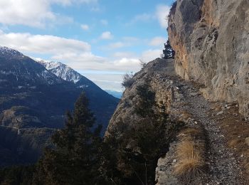
Ski randonnée
Ski randonnée
Ski randonnée
Sneeuwschoenen
Ski randonnée
Sneeuwschoenen
Sneeuwschoenen
Sneeuwschoenen
Sneeuwschoenen
Sneeuwschoenen
Sneeuwschoenen
Sneeuwschoenen
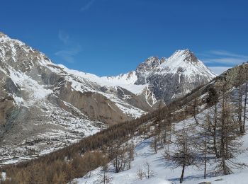
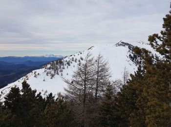
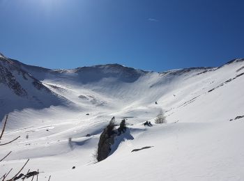
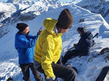
• Arrêt à la bergerie inférieure à cause du vent froid. Descente dans 50 cm de poudreuse entre les mélèzes.
20 tochten weergegeven op 173
Gratisgps-wandelapplicatie
 SityTrail
IGN / Geografische instituten
SityTrail World
De wereld gaat voor u open