


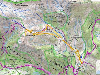
10,9 km | 24 km-effort
Saint-Jean-Saint-Nicolas: Ontdek de beste tochten: 13 ski randonnée en 18 sneeuwschoenen. Al deze tochten, trajecten, routes en outdoor activiteiten zijn beschikbaar in onze SityTrail-apps voor smartphones en tablets.
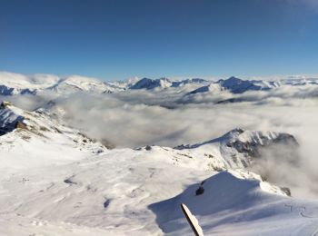
Ski randonnée


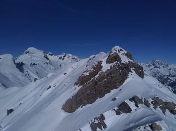
Ski randonnée
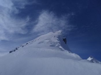
Ski randonnée
Ski randonnée

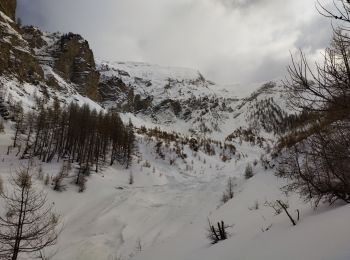
Sneeuwschoenen
Sneeuwschoenen
Sneeuwschoenen
Sneeuwschoenen
• Ne cherchez pas la cabane elle n'existe pas.

Ski randonnée
Ski randonnée
Ski randonnée
Sneeuwschoenen
Sneeuwschoenen
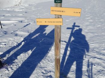
• Départ de Clos Davin à réintégrer
Sneeuwschoenen
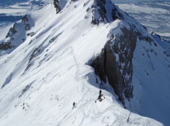
• Ski de randonnée. Facile sauf sur les conditions et qualité de neige ... En haut, trafol et quelques passages entre p...
Sneeuwschoenen
• Départ peu enneigé sur le chemin, heureusement qu'il y a les feuilles ! nous mettons les crampons arrivés dans le cha...
Sneeuwschoenen
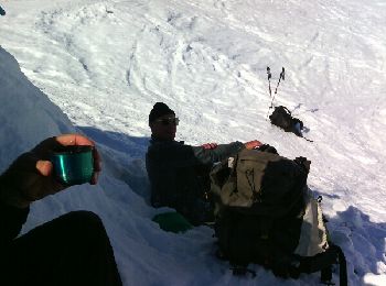
• Sortie Ski de rando Groupe Progression 1 CAF Marseille Provence.
Sneeuwschoenen
• Boucle facile (formation FFRP)
Sneeuwschoenen
Ski randonnée
Ski randonnée
20 tochten weergegeven op 31
Gratisgps-wandelapplicatie
 SityTrail
IGN / Geografische instituten
SityTrail World
De wereld gaat voor u open