


15,1 km | 29 km-effort
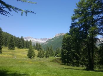
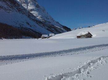
Cervières: Ontdek de beste tochten: 7 wintersport, 2 langlaufen, 17 ski randonnée, 28 sneeuwschoenen en 1 sleeën. Al deze tochten, trajecten, routes en outdoor activiteiten zijn beschikbaar in onze SityTrail-apps voor smartphones en tablets.
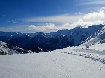
Ski randonnée


Ski randonnée

Ski randonnée
Sneeuwschoenen
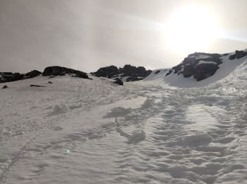
Ski randonnée
Sleeën
Sneeuwschoenen
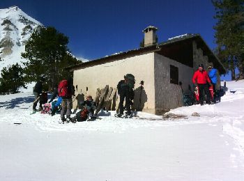
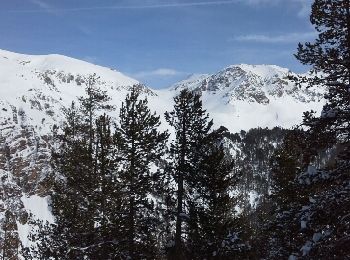
Sneeuwschoenen
• Très belle rando raquettes
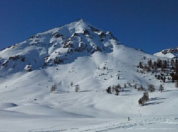
Sneeuwschoenen
Sneeuwschoenen

Sneeuwschoenen

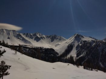
Ski randonnée
Sneeuwschoenen
Sneeuwschoenen
• J1 2016 Belle rando raquette facile
Sneeuwschoenen
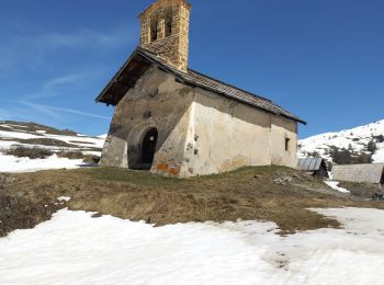
• Copié sur VISORANDO Départ de la Chapelle Saint Michel (D).Monter à l'Alp du Pied (1) par un chemin bien marqué.Le se...
Sneeuwschoenen
Sneeuwschoenen
Sneeuwschoenen
• Possibilité de faire les chalets d'Izoard, mais ne pas prendre le ravin d'Izoard pour redescendre
Sneeuwschoenen
• Nous n''y sommes pas aller au sommet des Anges
Sneeuwschoenen
• Enregistré avec GPS
20 tochten weergegeven op 55
Gratisgps-wandelapplicatie
 SityTrail
IGN / Geografische instituten
SityTrail World
De wereld gaat voor u open