


8 km | 11,6 km-effort
Haute-Savoie: Ontdek de beste tochten: 49 wintersport, 41 alpineskiën, 38 langlaufen, 389 ski randonnée, 462 sneeuwschoenen en 1 sledehonden. Al deze tochten, trajecten, routes en outdoor activiteiten zijn beschikbaar in onze SityTrail-apps voor smartphones en tablets.
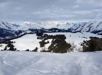
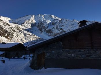
Sneeuwschoenen


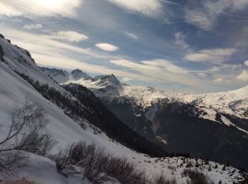
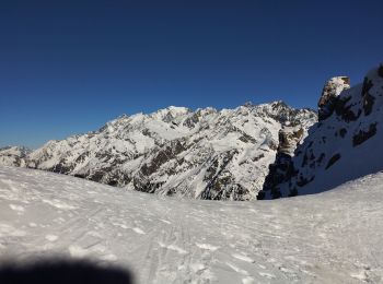
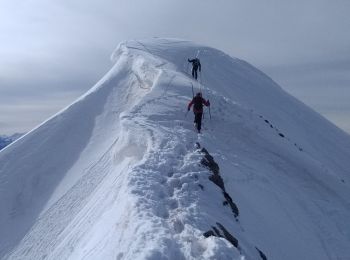
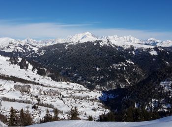
Ski randonnée
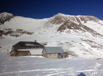
Ski randonnée
Ski randonnée
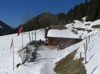
Ski randonnée
Ski randonnée
Ski randonnée
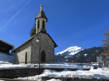
Ski randonnée
Ski randonnée
Ski randonnée
Ski randonnée
Ski randonnée
Ski randonnée

Ski randonnée
Ski randonnée
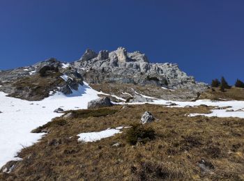
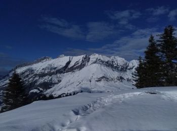
Sneeuwschoenen
Sneeuwschoenen
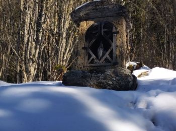
• Une randonnée au départ du lac de Vonnes .De Châtel en bus le N 4 de la place de l eglise .Une rando entre le France ...
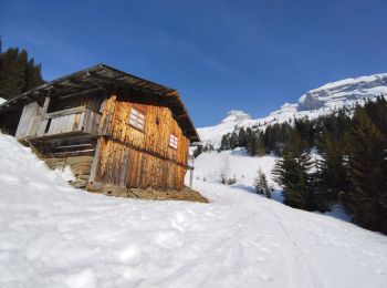
Sneeuwschoenen

Sneeuwschoenen
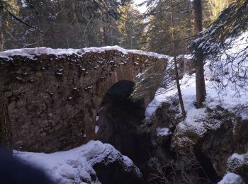
• Attention, le descente du Frassot dans le bois est assez raide (et peut se faire à ski s'il y a bcp de neige)
Sneeuwschoenen
20 tochten weergegeven op 980
Gratisgps-wandelapplicatie
 SityTrail
IGN / Geografische instituten
SityTrail World
De wereld gaat voor u open