


12,6 km | 31 km-effort
Vaujany: Ontdek de beste tochten: 4 alpineskiën, 5 ski randonnée en 2 sneeuwschoenen. Al deze tochten, trajecten, routes en outdoor activiteiten zijn beschikbaar in onze SityTrail-apps voor smartphones en tablets.
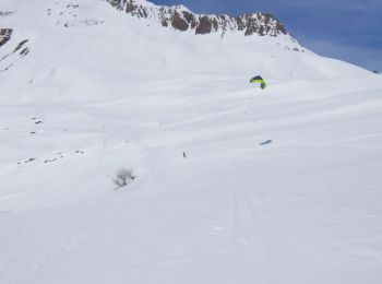
Ski randonnée


Ski randonnée
Ski randonnée
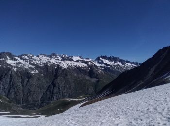
Sneeuwschoenen

Ski randonnée

Sneeuwschoenen

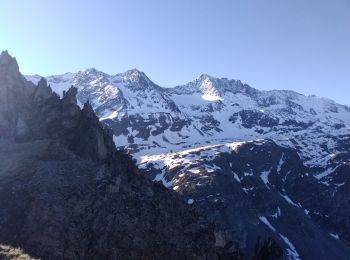
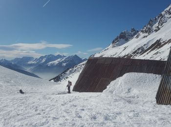
Alpineskiën
Alpineskiën
Alpineskiën
Alpineskiën
Ski randonnée
11 tochten weergegeven op 11
Gratisgps-wandelapplicatie
 SityTrail
IGN / Geografische instituten
SityTrail World
De wereld gaat voor u open