


214 km | 295 km-effort
Occitanië: Ontdek de beste tochten: 1 varia, 8 rolschaatsen, 23 via ferrata, 25 vissen, 1 bomenparcours, 6 jacht, 1 oriëntatieloop, 6 klimmen en 2 geocaching. Al deze tochten, trajecten, routes en outdoor activiteiten zijn beschikbaar in onze SityTrail-apps voor smartphones en tablets.

Andere activiteiten


Andere activiteiten
• Un beau parcours pour découvrir l'arrière pays entre terre et (avec vue) sur mer, avec une arrivée sur la très belle...
Rolschaatsen
Geocaching
Andere activiteiten
Andere activiteiten
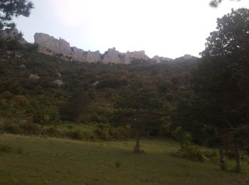
• Panorama superbe sur la bastide de Castelnau de Montmiral, traversées de vignes, paysages de coteaux : cette randonné...
Andere activiteiten
• Découvrez tous les charmes de la faune vivant à proximité du lac de Nabeillou et dans la forêt la juxtaposant.Découvr...
Andere activiteiten
Andere activiteiten
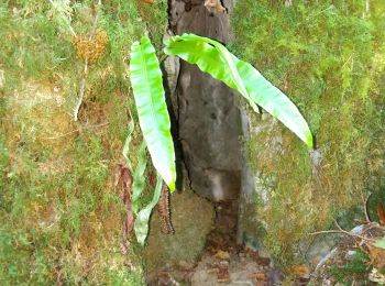
•
Andere activiteiten
Andere activiteiten
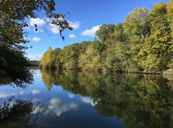
•
Andere activiteiten
Andere activiteiten
Andere activiteiten

Andere activiteiten
Varia
Andere activiteiten
Vissen
Vissen
Bomenparcours
20 tochten weergegeven op 1565
Gratisgps-wandelapplicatie
 SityTrail
IGN / Geografische instituten
SityTrail World
De wereld gaat voor u open